1 nighter
Sally Gap Loop, County Wicklow



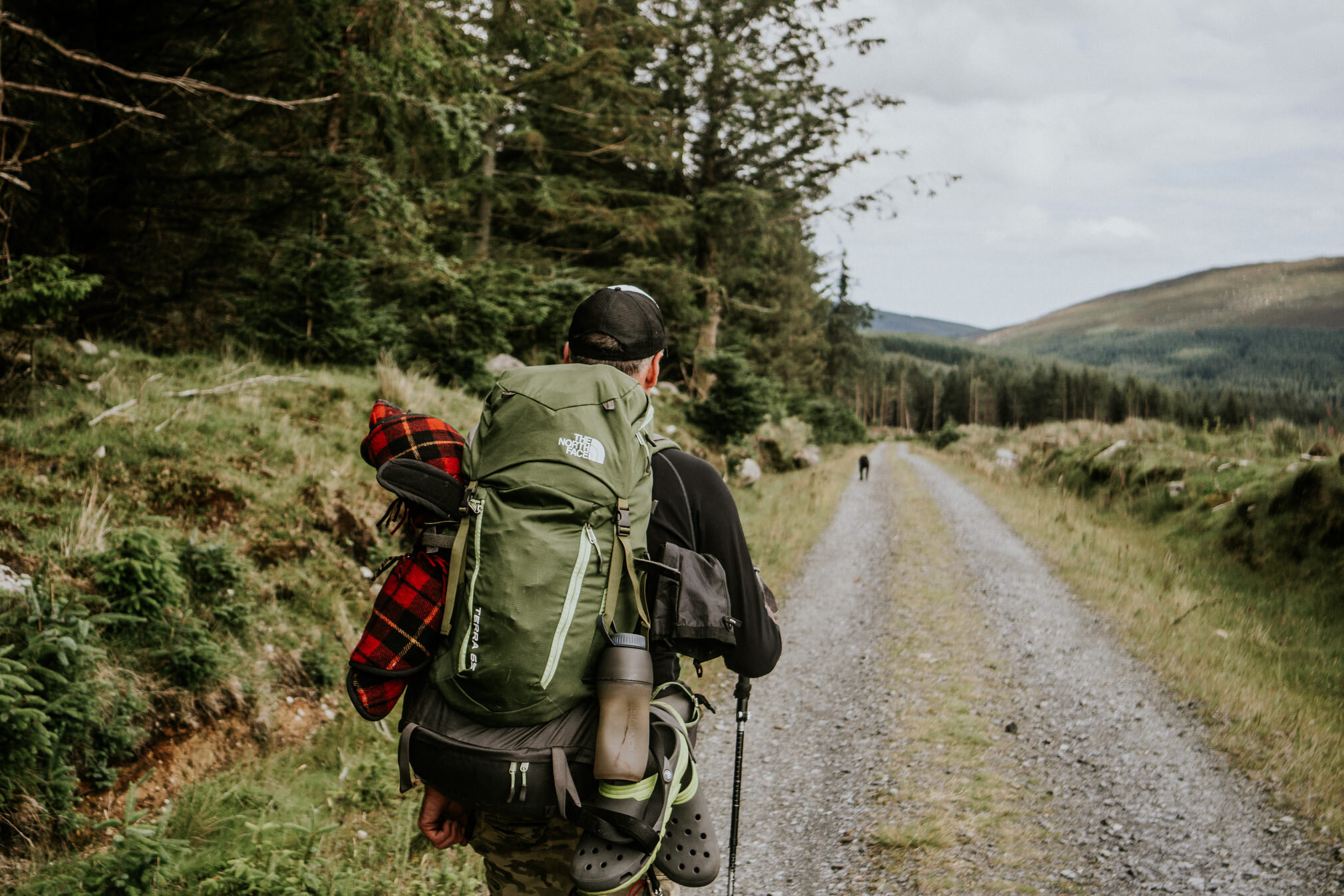
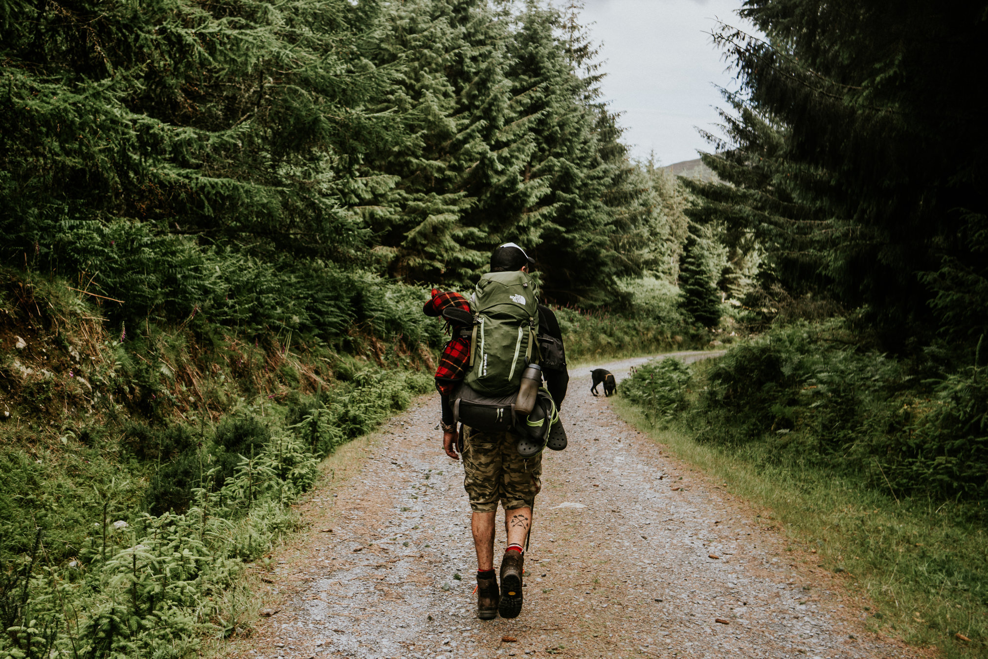
Bathed in unseasonably warm Icelandic sunshine, eight of us stood around the mini-van in the airport carpark repacking our kit as two loud cries of “Fuuuuuck, Fuuuuuck” rang out. We all felt for him as the realisation set in that his carefully packed camping gear and food supplies had not arrived with him on the flight over from Ireland. We quickly hit the road to make an outdoor store on the outskirts of Reykjavík before it closed to help him re-kit. From there we headed east on the Route 1 ring road through misty conditions, with the mood becoming increasingly jovial ahead of our planned three-day hike of the Laugavegur and Fimmvörduháls trails. We set up camp in Hella around 9pm in advance of taking a high-axle bus to our start point of Landmannalaugar early the following morning. With camp set up, two of us went further east along Route 1 to drop off the mini-van at Skógar, the planned end point of our hike, and eventually managed to hitch-hike 60km back to Hella to rejoin the group as the light faded.

Quiet anticipation was growing on the two-hour bus trip from Hella to Landmannalaugar as we travelled on gravel roads which cut through the increasingly barren, monotone backdrop. Starting at Landmannalaugar, the first day’s hike took us through a variety of otherworldly volcanic and glacial landscapes we couldn’t have imagined beforehand. A thin crust of orange and copper-hued, undulating terrain surrounded us, occasionally perforated by bubbling hot springs. The smell of sulphur wafted in the air and the ground itself was literally steaming in places. We later traversed a few icy plateaus, finally taking some well-deserved rest at one of the high points of the trail as the valley ahead and our destination for the night opened up before us below. Following a steep-sided ravine, we trekked to Álftavatn Lake in heavy rain to set up camp. A brief respite in the little bar at Álftavatn hut was most welcome on the way. Spirits were very high in camp after such an amazing day of hiking and no one retired to bed early that night.
After some breakfast and a quick dip in the lake we were on our way again. The first part of day two, provided us with a long march through a barren volcanic plain followed by a brief stop for lunch at Emstrur hut. From there we hiked a well-marked rocky maze crossing over a deep canyon and eventually traversing a wide plain where some tricky river crossings were made through some fast-flowing, ice cold glacial waters. The trail then brought us through the hills of Þórsmörk forest, a more familiar landscape to us and on to our destination at the ‘Volcanic Huts’ where we set up camp and enjoyed the evening with a few beers in hand
Our intention was to trek on to the Fimmvörduháls trail head and then do this 24 km mountainous route past the infamous Eyjafjallajökull volcano and glacier to Skógar where our mini-van had been parked up three days earlier. However, a few kilometres in, it increasingly became apparent that one of us was unable to continue walking despite persevering quietly through the pain barrier the previous few days. It later turned out he had been suffering from a hairline fracture in his toe which had been suspected by our medic on examination at the time. After some brief discussion, we collectively decided to call it a day and thankfully we sorted out some transport back to the mini-van. That afternoon we road-tripped east further along Route 1 to explore the Vatnajokull Glacier & National Park and returned to Reykjavík the following day via the Gullni hringurinn.
All of us were blown away by the sheer beauty and otherworldliness of Iceland and we only really got to explore such a small part of it. It truly is a beautiful country and it was an amazing experience to hike in its southern highlands and camp in its wilds. As always we had such fun together doing what we all love best.
Video + Photos by Derek // Write up by Mickey
12th -14th October 2018
Eight of us took on this adventure hike which largely shadowed the second portion of the Western Way over three days and two nights in the wilds of the west of Ireland. Starting out at Aasleagh Falls just as the weather warning for Storm Callum was scheduled to end, we steeply ascended onto the shoulder of Ben Gorm. From there we ridge-walked east with Tawnyard Lough opening out below to our left. Eventually we descended into the forestry by Derrintin Lough, the strong gusty winds not having eased since we set off. A well-sheltered camp was set up before dark and as the light faded we cooked up and settled in around the roaring fire with the clear, starlit sky peeking through the tree cover overhead. Everyone was in fine fettle to say the least.

Packed up and fed we emerged onto the Western Way track crossing the bridge downstream of Tawnyard after which we travelled a good number of miles to the Sheeffrey Pass bridge. Our intention from here was to avoid any further road walking by hiking directly through the hills towards the back of Croagh Patrick (our outdated OSi map had the Western Way marked along roads in this section). However, as we ascended high up into the rough moorland through the mountain mist, we encountered waymarkers and realised we had inadvertently found what turned out to be the updated Western Way route! This was surprising as many “ways” in Ireland have worn tracks to aid navigation but this stretch certainly did not and that in itself was very refreshing. Our route descended by the isolated Lough Lugacolliwee, a truly beautiful and isolated lake surrounded by steep rocky mountainside. Ignoring the waymarks from here, a few hours of trekking over peaty moorland, through some forestry and along some boreens ensued and increasing consideration was given to where we should camp for the night. It was starting to get dark and the immediate options available to set up camp (i.e. dense damp plantation forestry with little running water) were very unappealing. Thankfully after much perseverance, we found a reasonable spot on some raised ground along the shore of Lough Nacorra and got set up for the night, all our bivvies tucked in under a good-sized tarp to keep us dry.

The final day took us from our camp at Lough Nacorra up the much lesser-walked back route of Croagh Patrick and on to its peak. The final descent brought us straight into Campbell’s Bar in Murrisk for the now traditional “two pint” Guinness toast to deservedly quench our thirst.


