
Connemara, Ireland
Day 1 – 16 km / Day 2 – 17 km / Day 3 – 9 km
Total length walked on the trek was 42 km
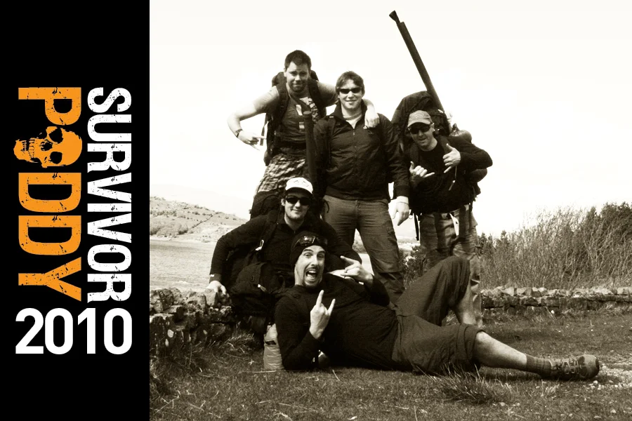
After a few months in the planning we finally got underway on the last day of April 2010, for what, in time, turned out to be the inaugural and first in a series of annual Survivor Paddy adventures and not just a once off trip as we originally thought at the time. The plan was to hike a section of the Western Way from just north of Oughterard village in Co. Galway to Leenaun on the shores of Killary Harbour over the course of three days. We also planned to wild camp at unknown locations on two of those nights along the route and packed our kits with the necessary supplies accordingly. This route was to take us through the heart of Connemara from the north-western shores of Lough Corrib right on to the Atlantic Ocean and provide us with vistas of some the most scenic, undervalued and unspoiled landscape Ireland has to offer.
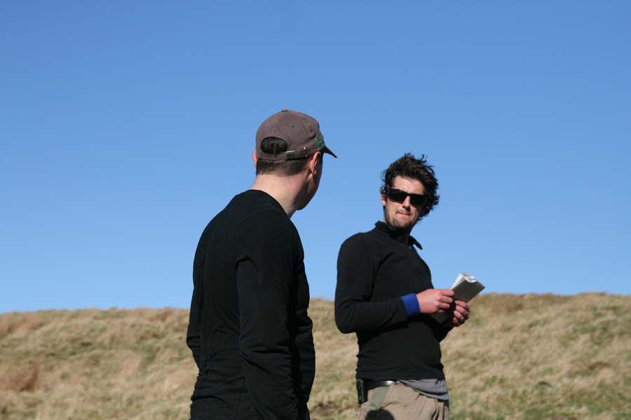
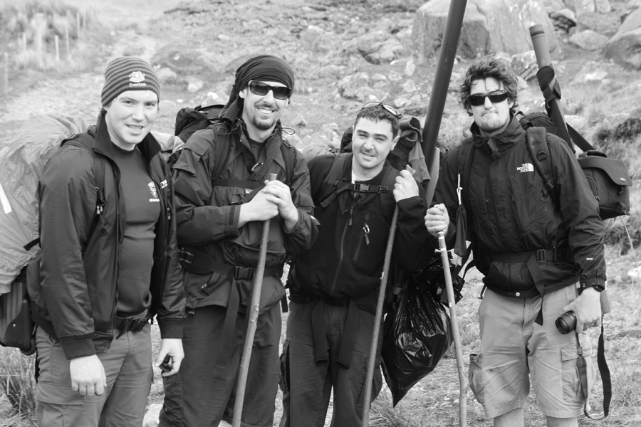
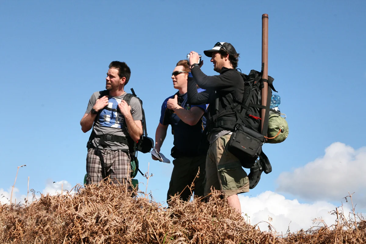
Despite each of the five of us being outdoor enthusiasts in a variety of disparate pursuits which included fly-fishing, scuba diving and surfing, the group as a whole only had limited experience of long distance trail or hill-walking and so did not really know what to expect for the few days ahead.
We all met up at 11 am on the Friday morning a good distance up the Glann Road where we could park up and leave our vehicles. This winding, undulating road runs northwards out from Oughterard village closely following the western shore of one of Ireland’s most majestic lakes, Lough Corrib. The lake is the second largest on the island of Ireland with a surface area of almost 18,000 ha and spans c. 64 km on its longest axis from the wilds of Connemara, Joyce Country and the Maam Valley southwards to Galway city.
Our last mainstream contact with the civilised world was hearing the news of the untimely death of the well-known 2FM radio presenter Gerry Ryan as we made final preparations for the walk at the cul-de-sac on the Glann Road. It was a tad unsettling to hear this news as it was out of the blue and I had enjoyed listening to him daily in the past few years on my drive into work. Also the news brought back some vague memories of him being centrally involved in a survival saga in Connemara in the 1980s. This affair came to national attention as a farmer’s lamb was apparently crudely slaughtered to stave off the hunger of group of wilderness novices sent out to survive in the wild by the Gay Byrne radio show (see http://bit.ly/1IQXznV for more on this). The comparison was not lost on me as to our present circumstances, albeit, we had afforded ourselves the luxury of packing what food we thought we would need in addition to some minor luxuries for the few days ahead. Nevertheless, all we were to bring had to be carried in our rucksacks on our backs.
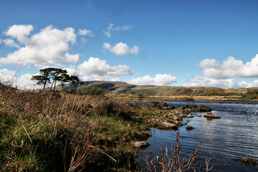
The first part of the walk took us along a way-marked forest path which hugged the north-west shore of Lough Corrib. This eventually led into wild, open and isolated country where the level terrain adjacent to the lake shore progressively becomes narrower as it runs into the eastern slopes of Lackavrea mountain. Only a few kilometres into the trip we came across what appeared to be a semi-abandoned, ‘crusty-esque’ camp in a clearing over-looking the track. We stopped here briefly to have a look around, took off a few layers and re-adjusted our kit. Fortuitously, we scavenged an old tea pot and grill here which would prove useful for the anticipated camp fires ahead.
After leaving the forest we had our first route choice to make which was to follow the new way-marked Western Way with its recently installed timber boardwalk or take the older, apparently unmarked, original route. Of course, being elect survivors, we took the latter, particularly, as according to the OS map, the newer route took in a little too much of the R336 road for our liking. Traversing a number of streams and still navigating along the lake shore, we came across a surreal site, a dilapidated farmhouse and small out-buildings which still had some old net curtains blowing in the wind through the part-broken glass windows. There was also an open half-door at the front of the house. Inside hung old picture frames on the decaying walls devoid of any inserts, there were pieces of old delft, and some old furniture lying about in a disorganised fashion. We could see no obvious way the previous occupant or occupants could get in or out of this very beautiful, but isolated location, as it backed onto the mountain, apart from hiking or taking a boat. After the trip I was informed that this house was occupied from the 1920s up until the late 1970s or 80s and indeed the man who lived there most of his life surprisingly used to journey in and out in this manner to reach local villages or distant neighbours when needed.
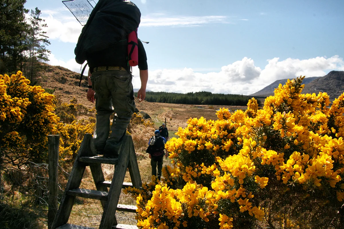
As we journeyed on from here, the realisation increasingly dawned on us that we may have inadvertently gone off the old Western Way as there was no obvious path to take around the mountain to get back on some sort of track to lead us north-westwards in the general direction of Maum village. Our only choice was to go over the northern shoulder of Lackavrea to continue forward. This involved a very steep scramble up the slope with heavy backpacks in tow. Finally, after much toil we managed to overcome this unnecessary obstacle to rejoin the old Western Way route through some farmland populated with spring lambs.
On leaving the farm track, we had a brief stint of walking on the R336, turning left off the main road onto a minor side road after crossing the Failmore River, just south of Maum village. It was here that thoughts came as to where to camp for the night as the sun was slowly setting and rendering the evening sky with a fine orange hue to the west. Our legs were also getting progressively weary owing to our over-laden kit and ‘off piste’ detour earlier that day.
Choosing a place to wild camp proved more difficult than we first thought as this side road was intermittently dotted with dormer bungalows and we did not want to upset any local landowners by setting up camp without permission. Ideally we wanted to camp away from signs of civilisation. At one stage with no locals in sight, we even called into a house to ask for permission to set up camp along the Bealnabrack River which adjoined their land. Unfortunately, this wasn’t granted, so on we wearily plodded along the road.
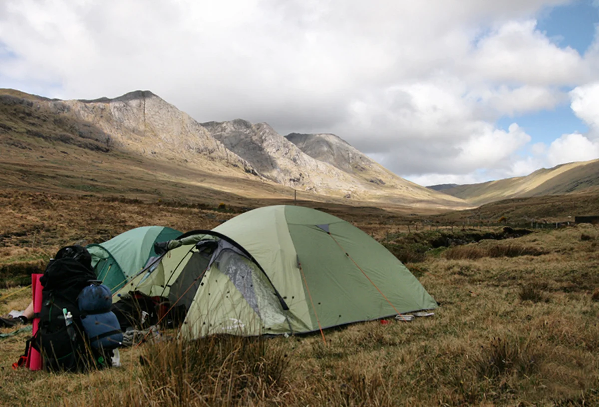
Just as we felt our luck was running out, a man came trundling down the hill towards us on his Black Nellie. He was on his way into Maum for a few pints as it turned out, but more importantly he was a local landowner. On hearing our predicament, he immediately offered us an ideal spot to camp for the night on his land by the upper reaches of the Failmore River, so there we headed with great haste.
There is little more rewarding in life than setting up camp in the wild, getting the fire going, cooking up a well-deserved feed and sitting around to chat over a few drinks after a long day’s walk in the great outdoors. So that’s what we did. The mystery of why Jay was finding it so tough ascending the shoulder of Lackavrea earlier in the day was finally resolved when he produced not one, not two, but eight, yes eight cans of stout from his backpack to surprise us all with. A bottle Wicklow Mountain blaeberry wine I had home-brewed the previous year was also shared around. After some great banter under clear starry skies, we retired for the night just before 2am.
Length walked on day 1 was 16 km.
We were up relatively early on day two, around 8am. After a quick scrub in the river to freshen up, a small fire was lit to cook some breakfast and boil water for tea. After packing up camp, we recommenced our trek up to and through the pass at Maum Ean (St Patrick’s Bed). Maum Ean has been a place of pilgrimage since early Christian times and continued as such until it died out in the mid-1900s. The main reason for its decline was largely due to it being brought into disrepute in the 19th century by various local factions fuelled up on poitín getting progressively rowdy the day of the pilgrimage. In more recent times, the traditional pilgrimage has been revived.
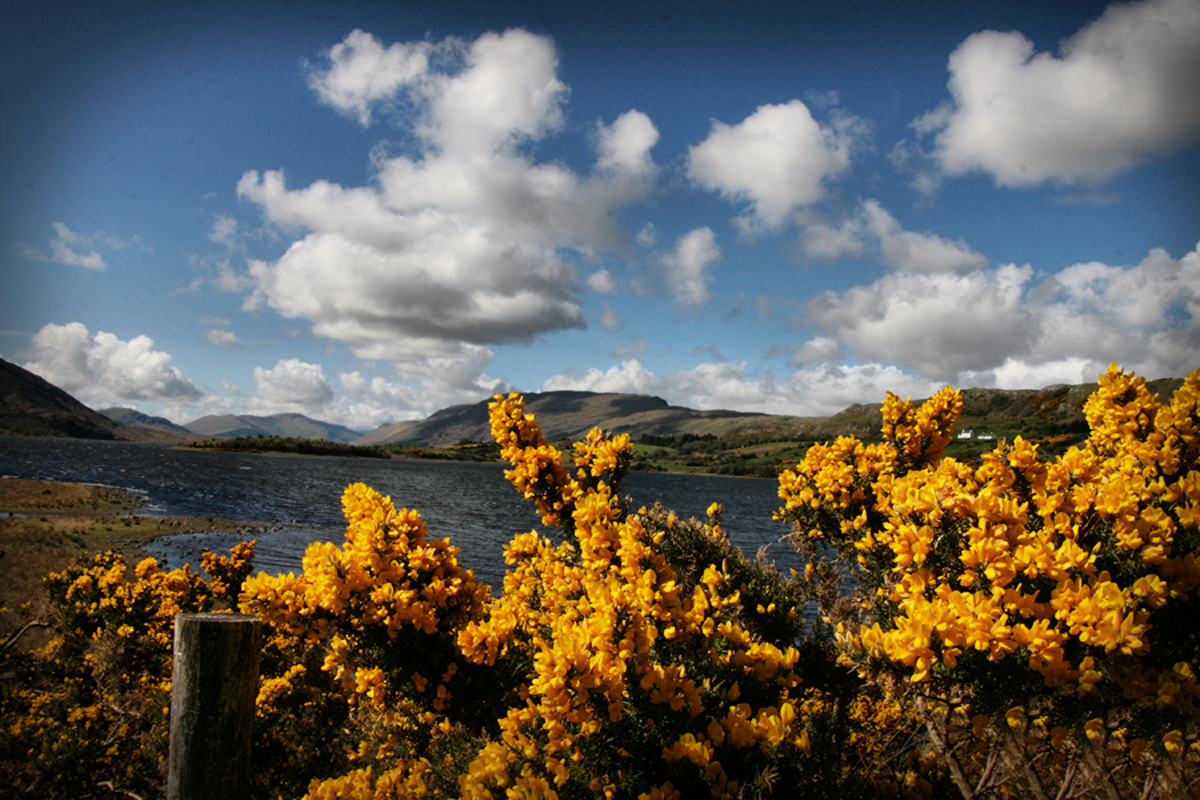
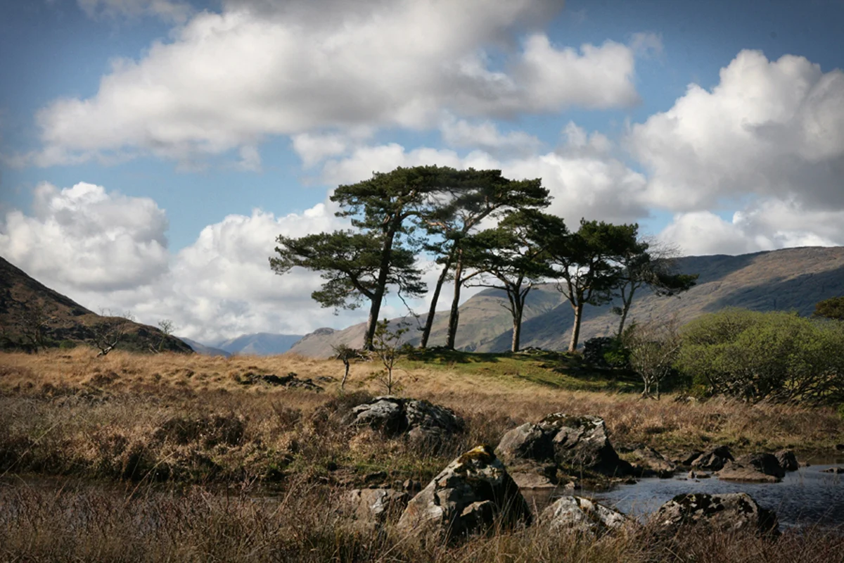
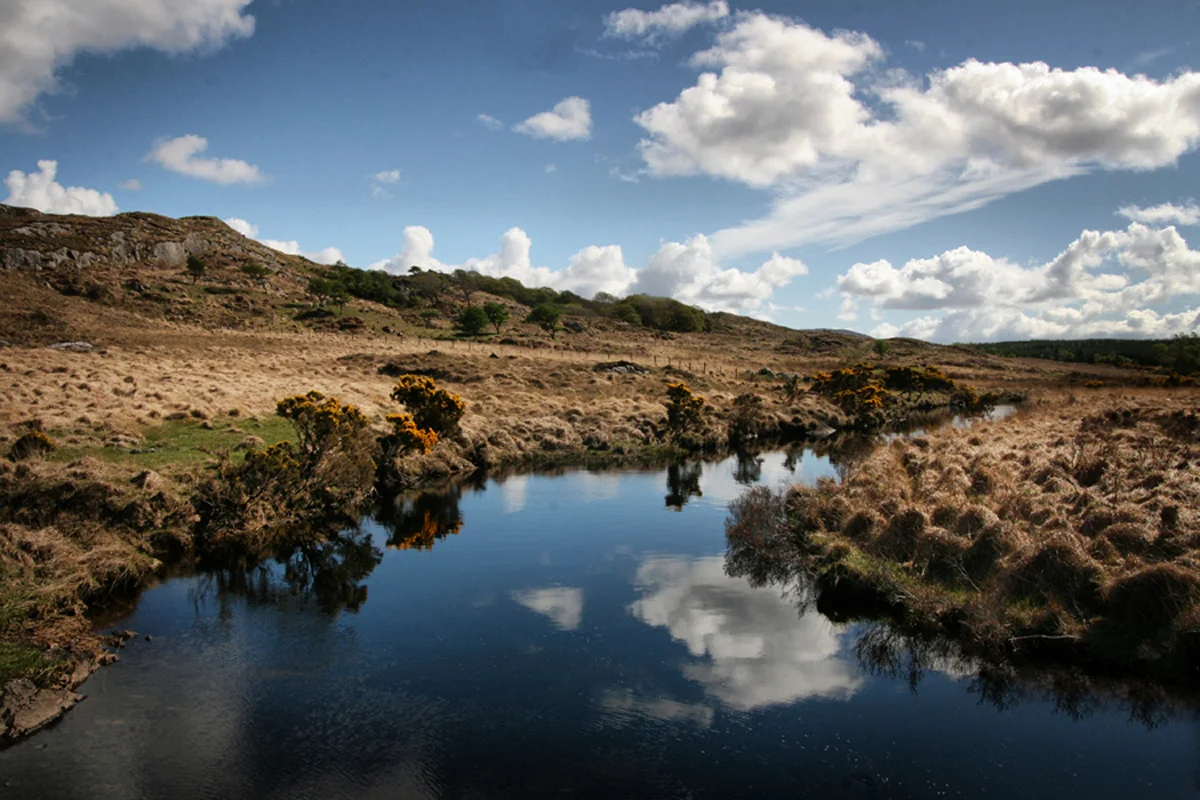
From the Maum Ean pass, the Western Way opened out into the spectacular Lough Inagh valley and led us in a northerly direction. The valley is set between the sharp-peaked Twelve Ben mountain range to the west and the Maamturk range to the east. After a long, but steady day’s walking in continuing good weather conditions, we eventually set up camp just off the track in some damp coniferous plantation forestry adjacent to a fast-flowing, boulder-strewn stream. The evening allowed our tired limbs some respite and after a well-deserved campfire cooked dinner, we settled down into jovial conversation over a few hot whiskeys.
Length walked on day 2 was 17 km.
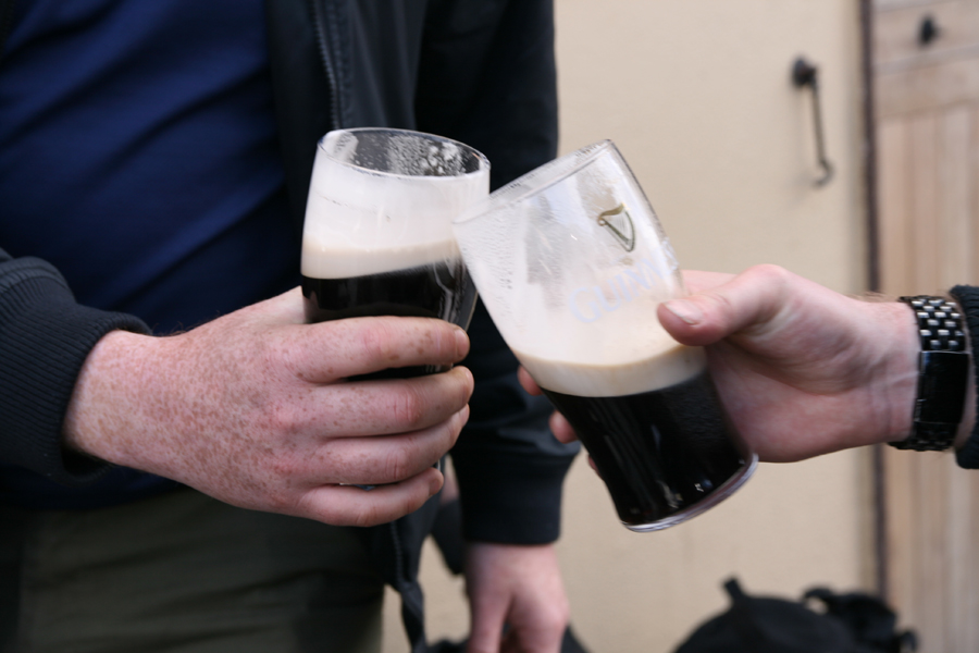
Day three was the final leg of our adventure. From our camp, the Western Way led us through the remainder of the forestry with the ground under foot becoming more rugged as it embraced the outer periphery of the Maamturk range and revealed Killary Fjord and the Atlantic Ocean to the west. The path eventually descended to join the road just outside of our destination of Leenaun at the fjord’s shore. To our delight, this proud moment was serendipitously celebrated by a large band of classic motorcyclists speeding past us all beeping their horns as we left the track. A final 1 km track into Leenaun along the road brought us into the village. Here we sat across the road from Gaynor’s Bar (famous from the movie The Field) for a few well-deserved stouts and took stock of what was an excellent introductory trip from the group to trail walking and wild camping in the wilds of western Ireland.
Length walked on day 3 was 9 km.
Although the three day walk in itself wasn’t as demanding a trip you could potentially undertake, we did gain a few very valuable insights that would stand to us for more some of the more challenging adventures to come. The first is that the fitter you are, the easier and more enjoyable whole experience is. Building up a certain level of fitness from running or walking before such an undertaking also hardens up your feet and limbs to better endure long distances. A good pair of sturdy, not weighty hiking boots is also essential. It is important that the boots are well broken in before taking on a long distance walk as this can limit the development of annoying blisters that would otherwise arise. The weight of kit carried is also significant. An overly heavy kit will place an undue strain on the walker so it is important to pack smartly.
Total length walked on the trek was 42 km.