Bangor Trail, Erris, Co.Mayo
Length: 26k / Ascent: 1604m
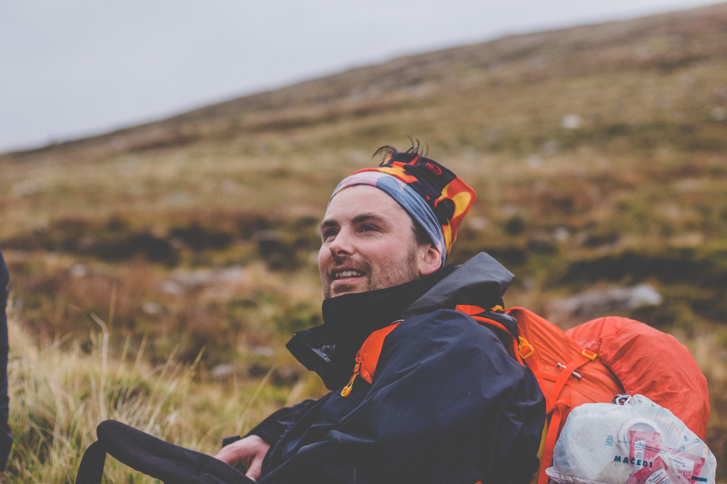
Text // Alan, Photos//Derek
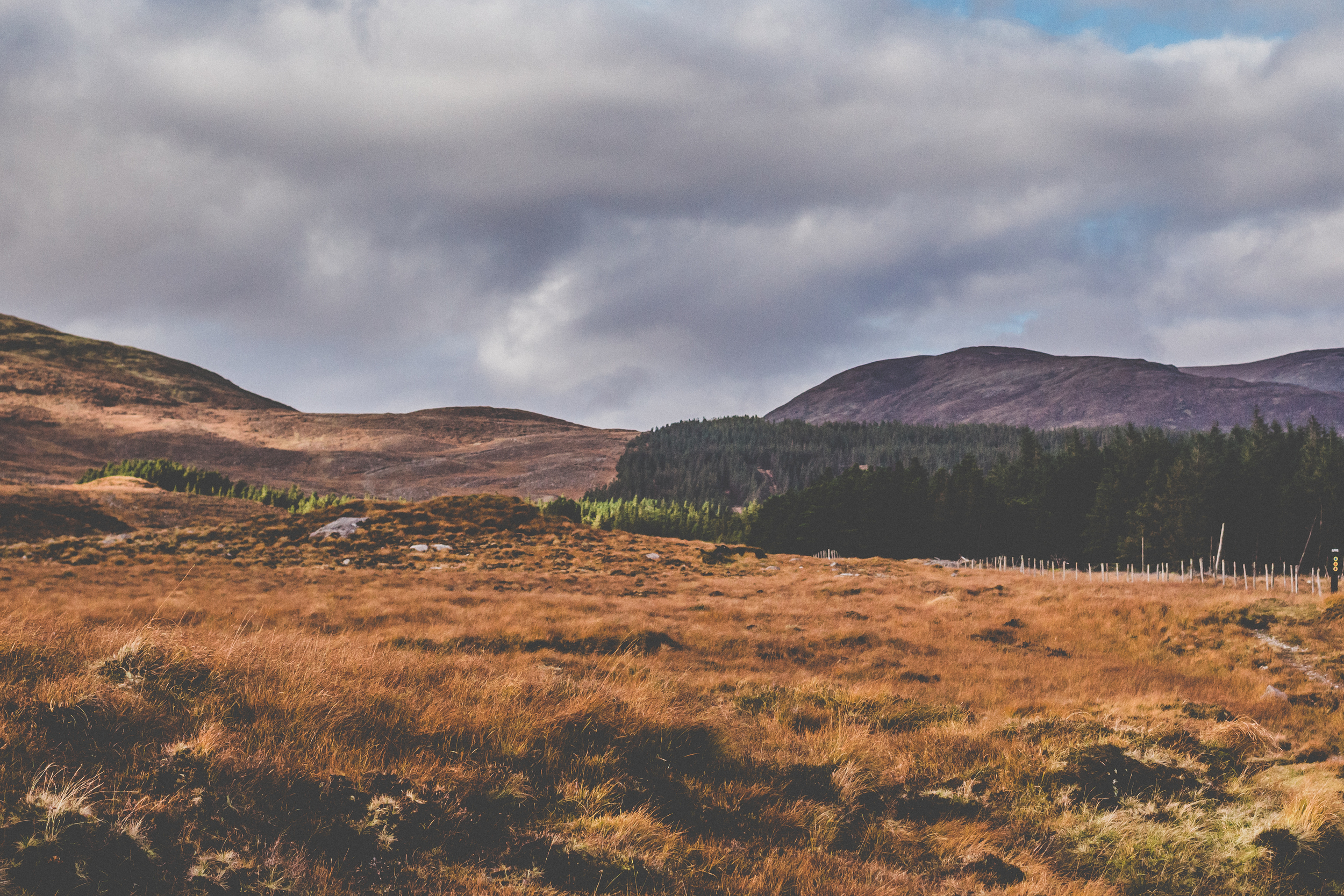
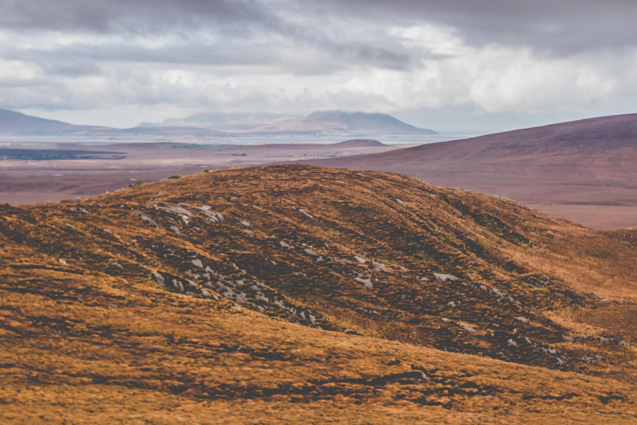
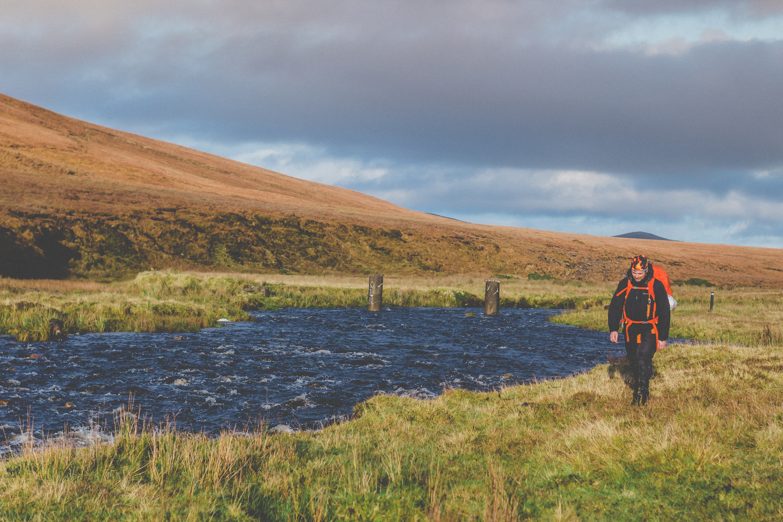
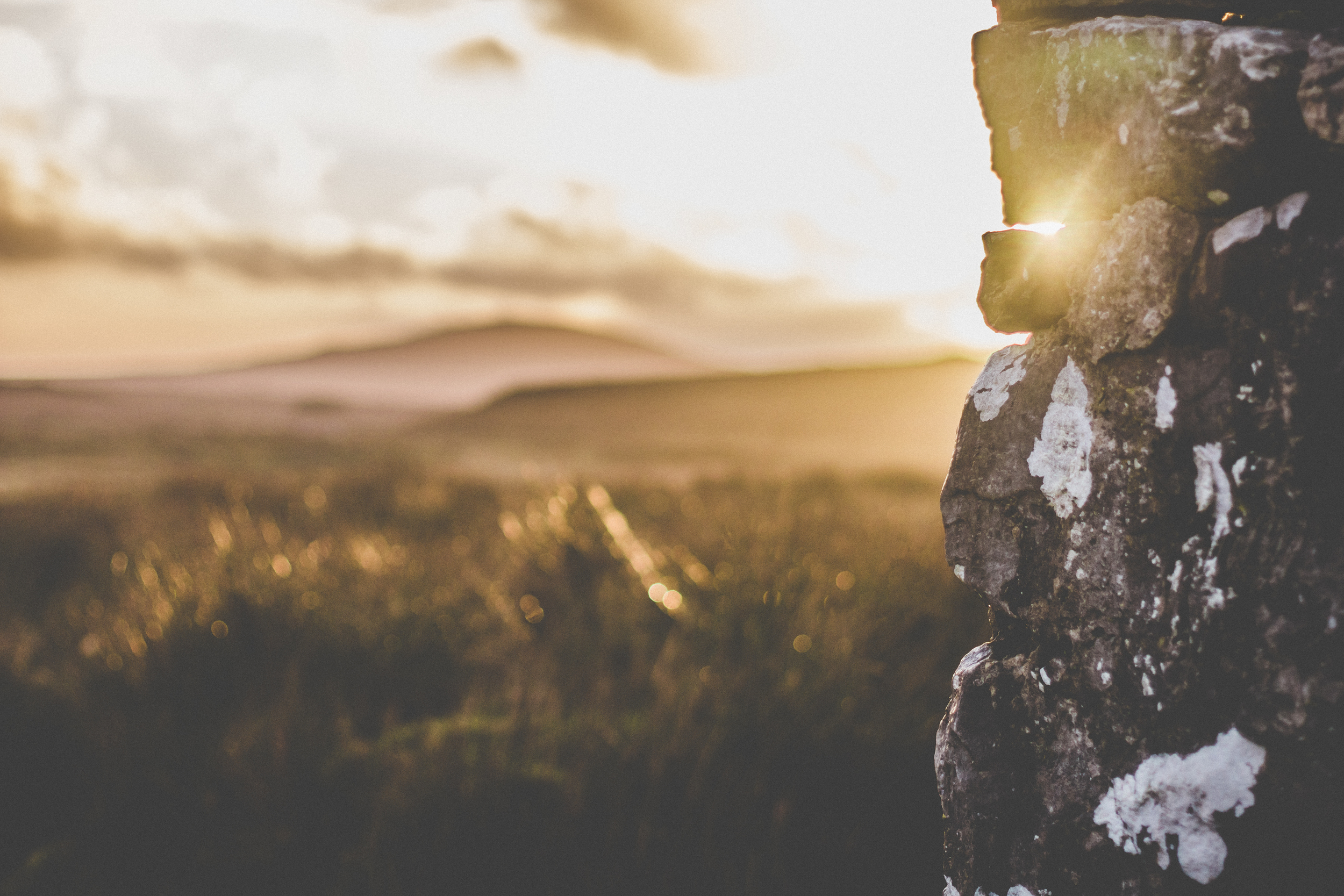
This adventure started taking the reverse direction from Newport towards Bangor Erris. Crossing the Altacooney river from the Letterkeen side, from the Brogan Carroll bothy. The bothy was donated by two philanthropic trekkers who were impressed with the wilderness of Mayo. Wilderness it was. Irish naturalist Robert Lloyd Praeger (1865-1953) once described it as ‘the very loneliest place in the country’. The trail, mostly blanket bog dates possibly from the Iron Age and was a drover’s road or droveway (a main route for the transport of animals). It also had become a main route for people too until the surrounding roads were built. Hence the trail has the whiff of history.
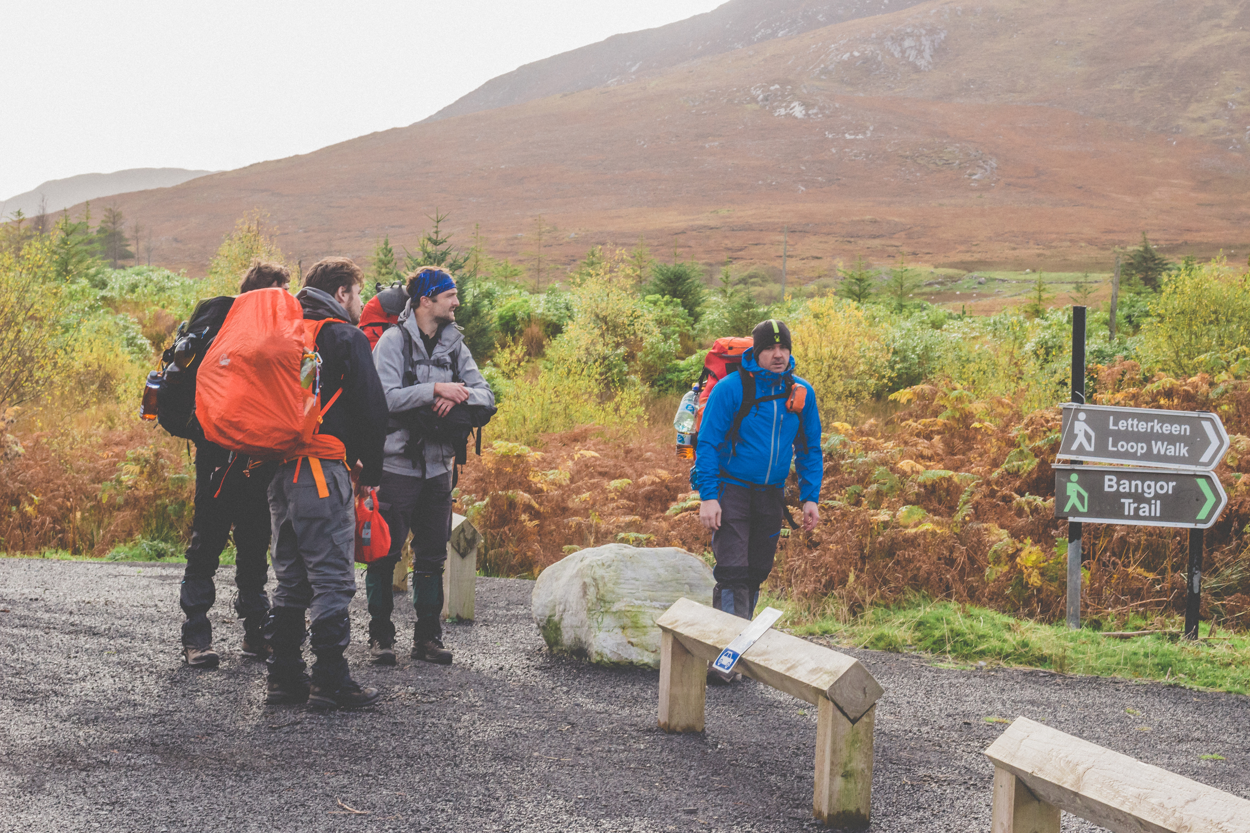
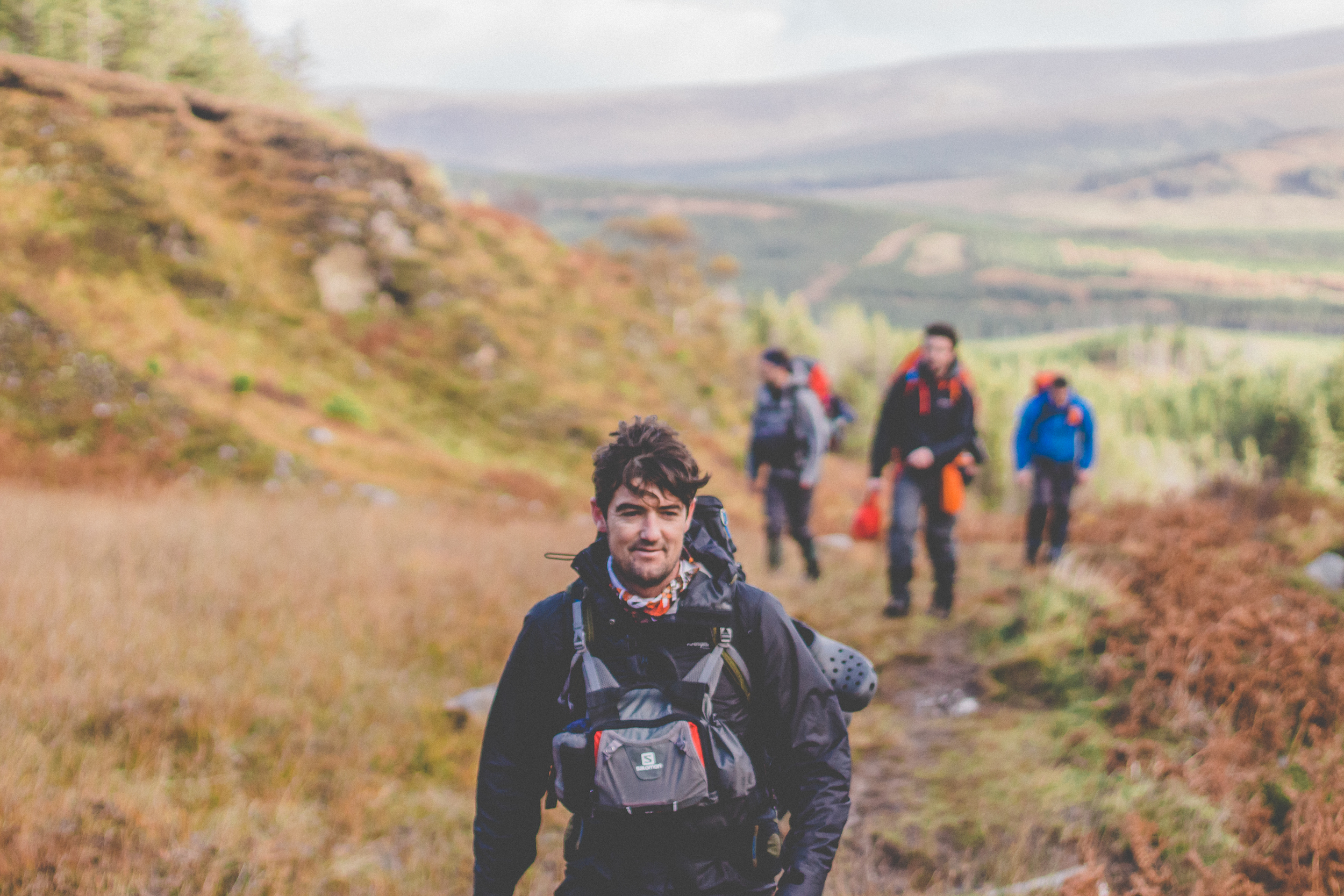
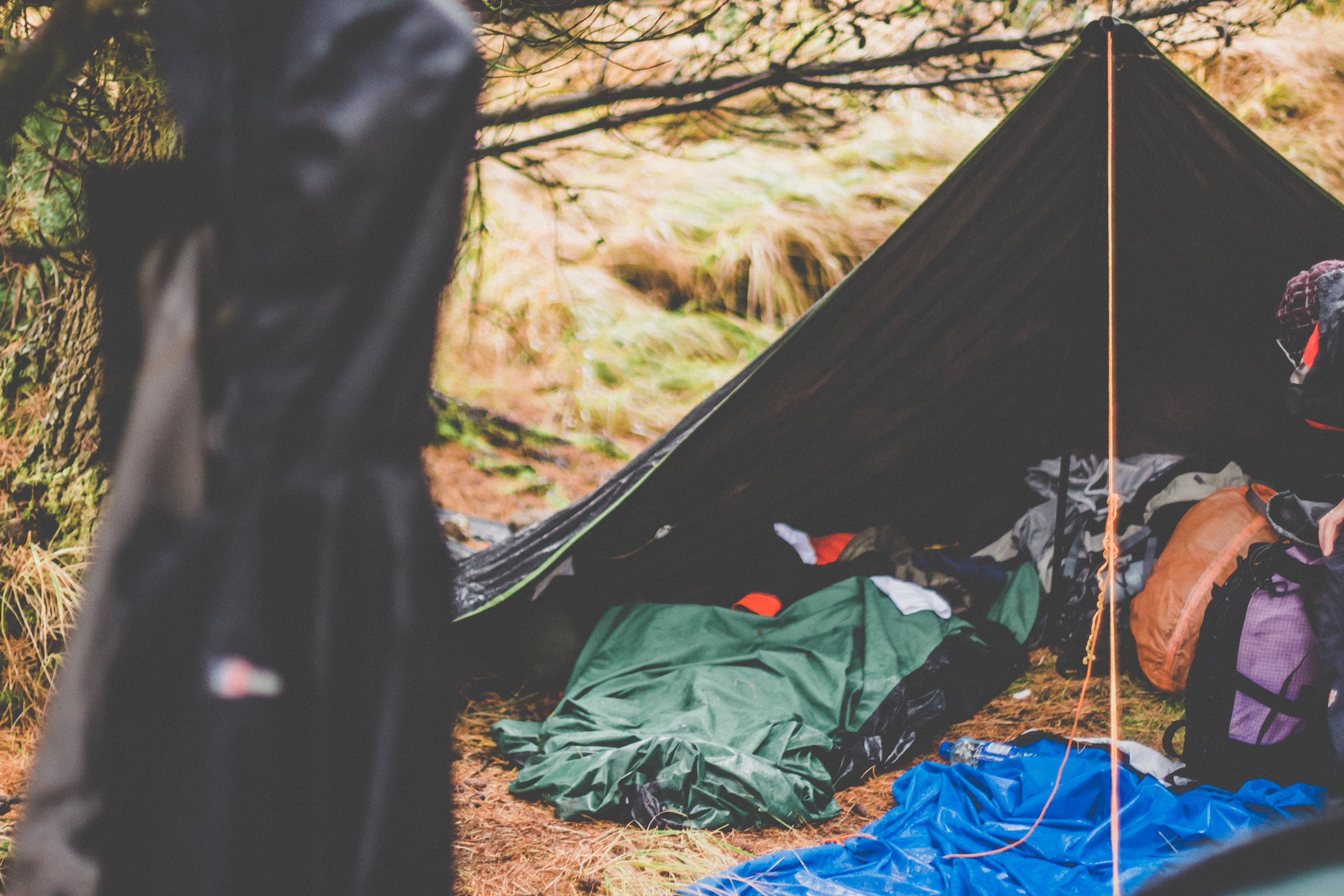
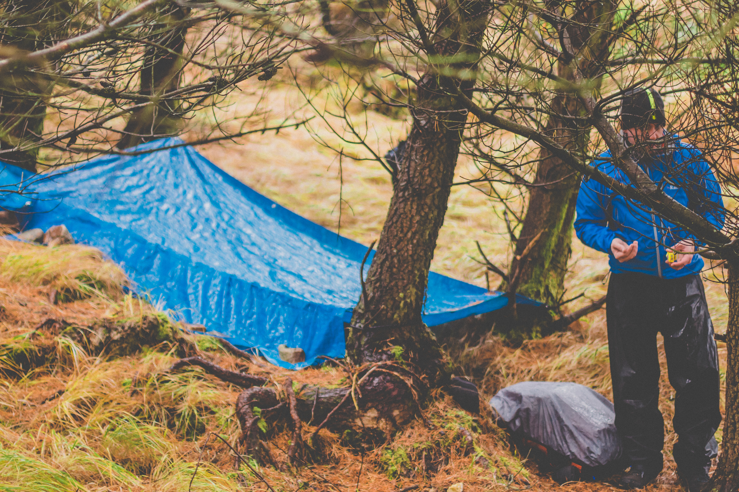
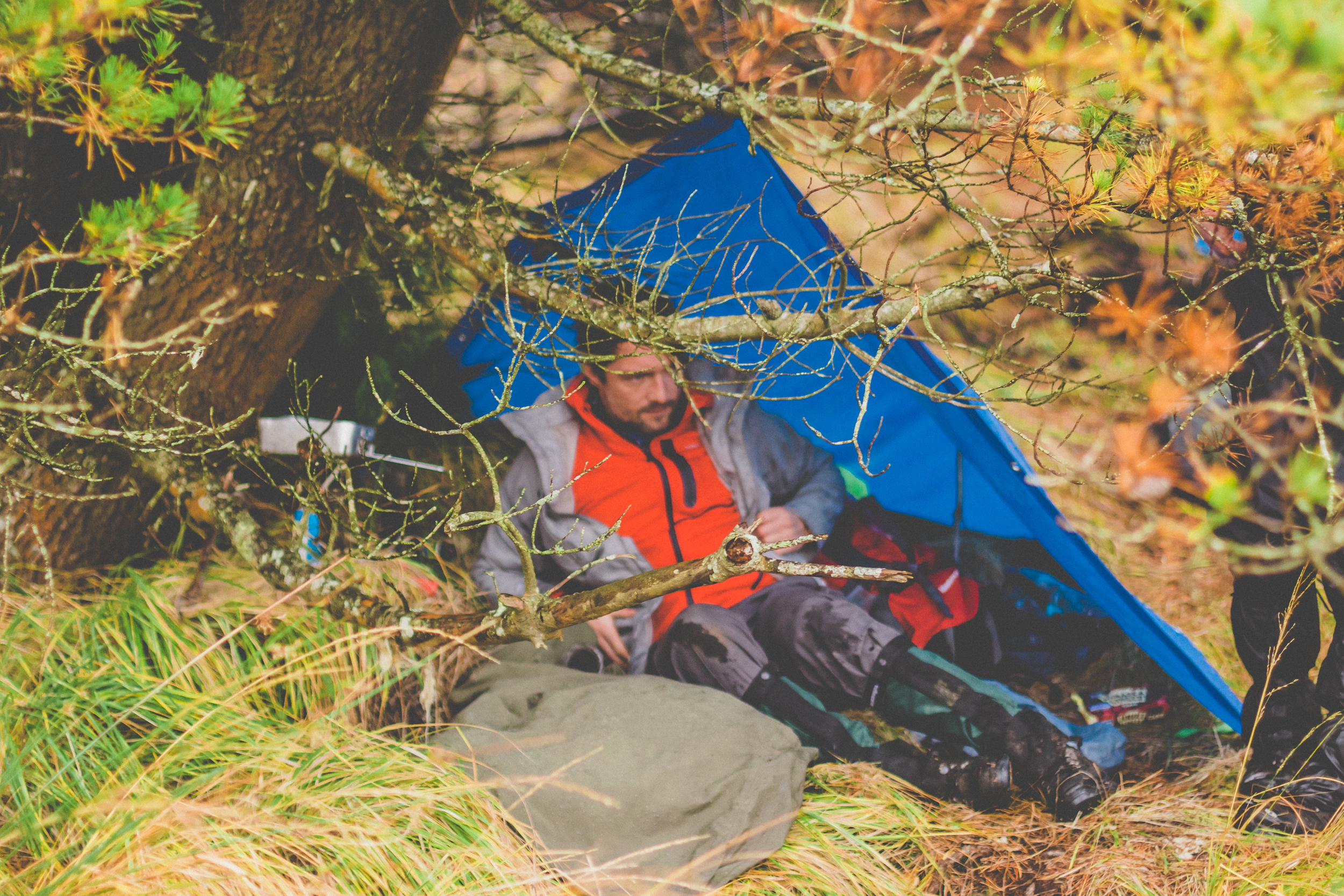
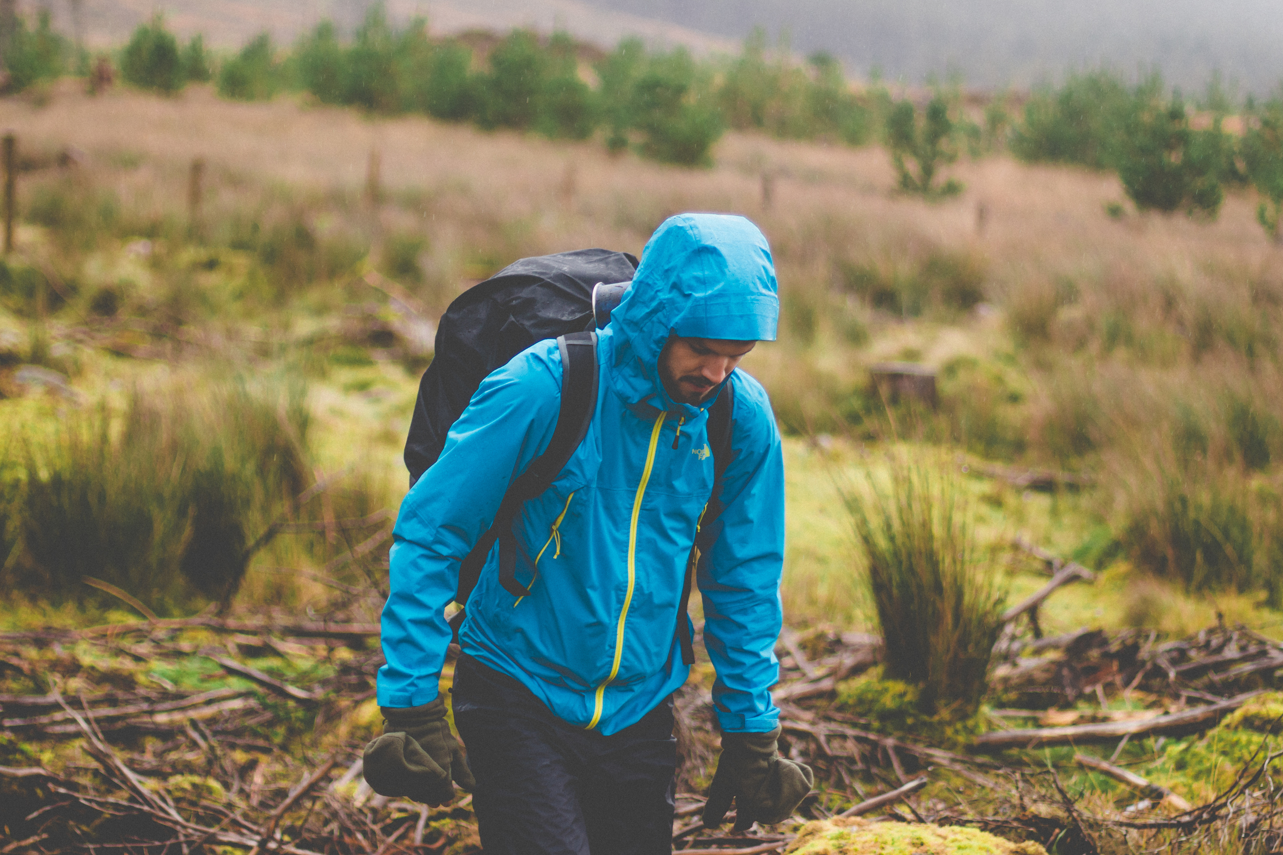
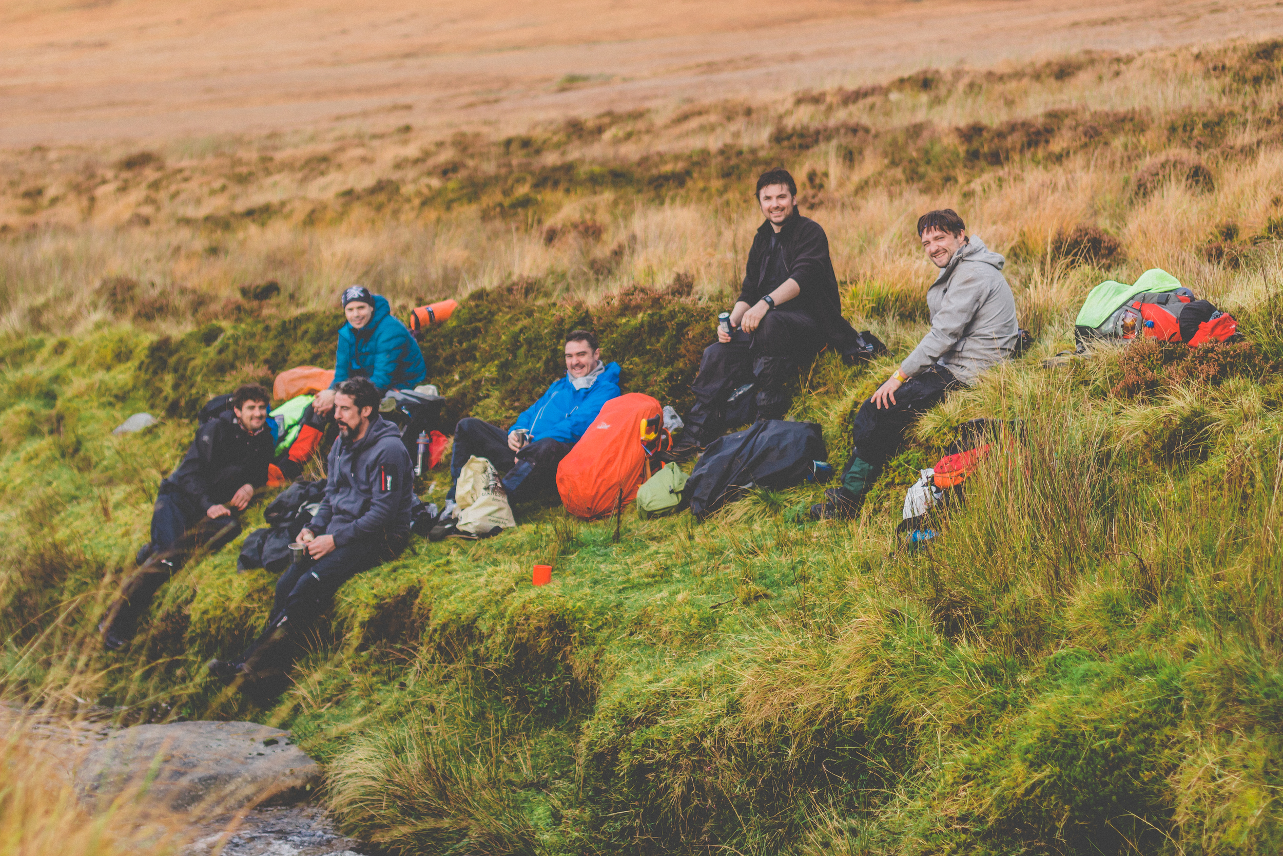
Our first day’s hike into Ballycroy national park was a pleasant 2.5k taking into account the lack of shelter and firewood in the ensuing, expected 14k hike the following day. Spirits were high and good decisions were made for the camp spot. Nature and Coillte miraculously provided an abundance of dry rotten wood in a landscape that would prove to be one of the soggiest we have ever encountered. At times it felt like we were walking in a stream rather than a trail. Experienced hands set up comfortable bivi and tent accommodation while a “long” fire was built to give solid platform for the evening meal. Two of our team arrived late in the night with their winking headlights and we were ready to roll for the morning.

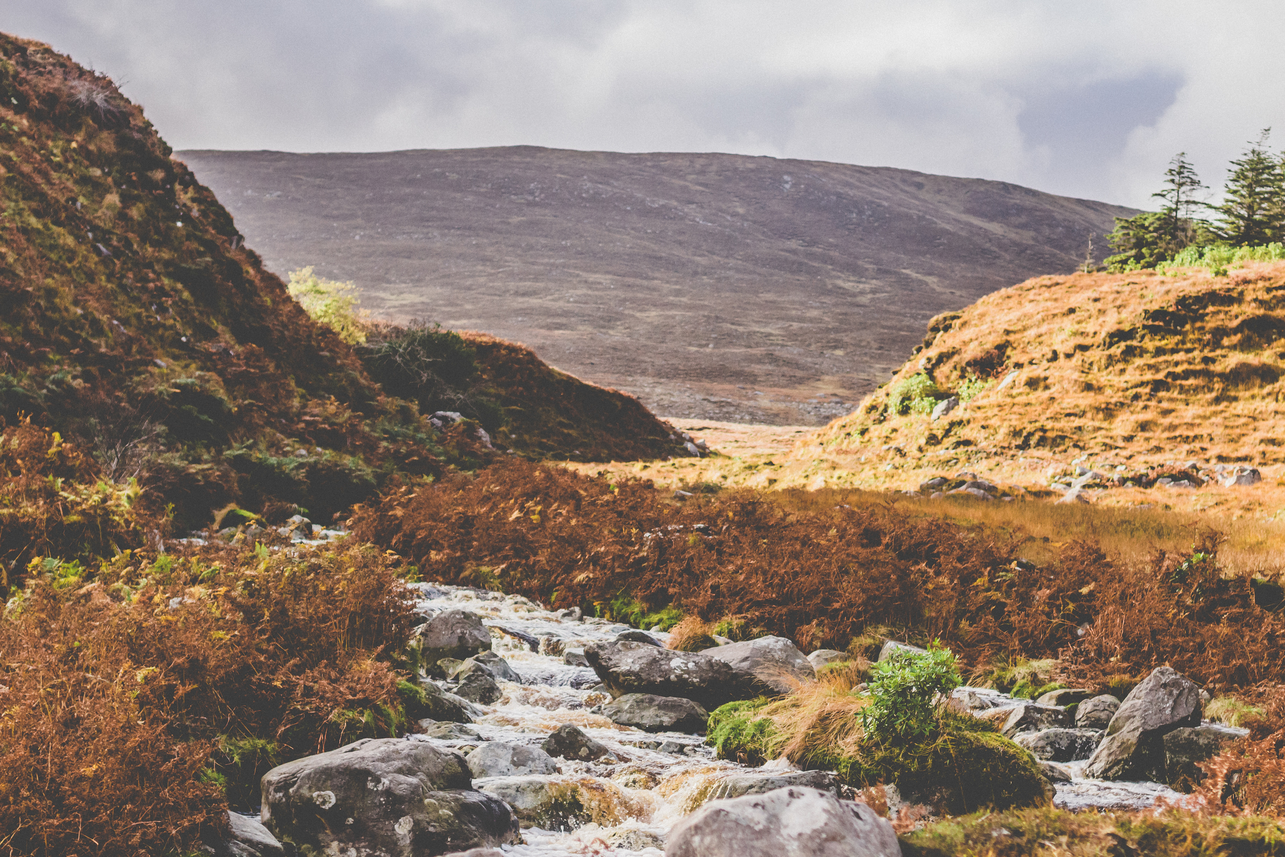
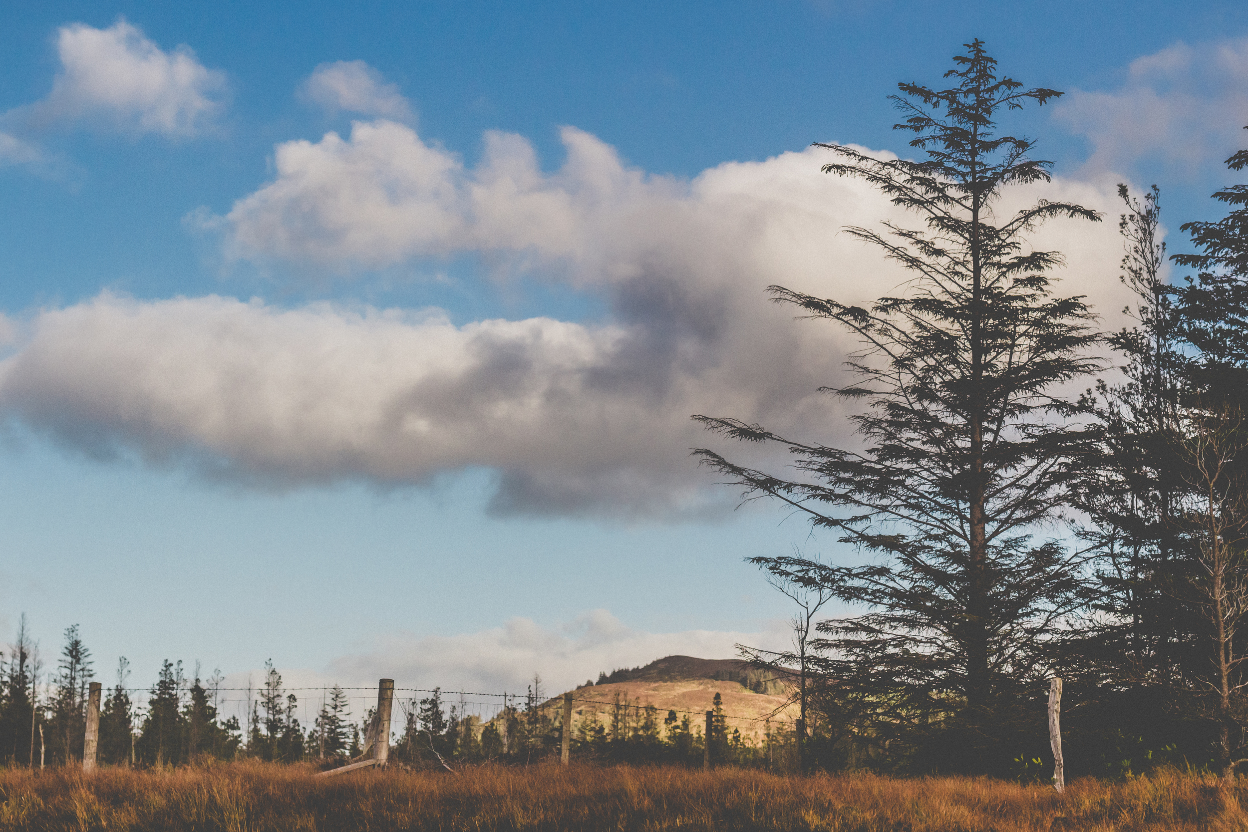
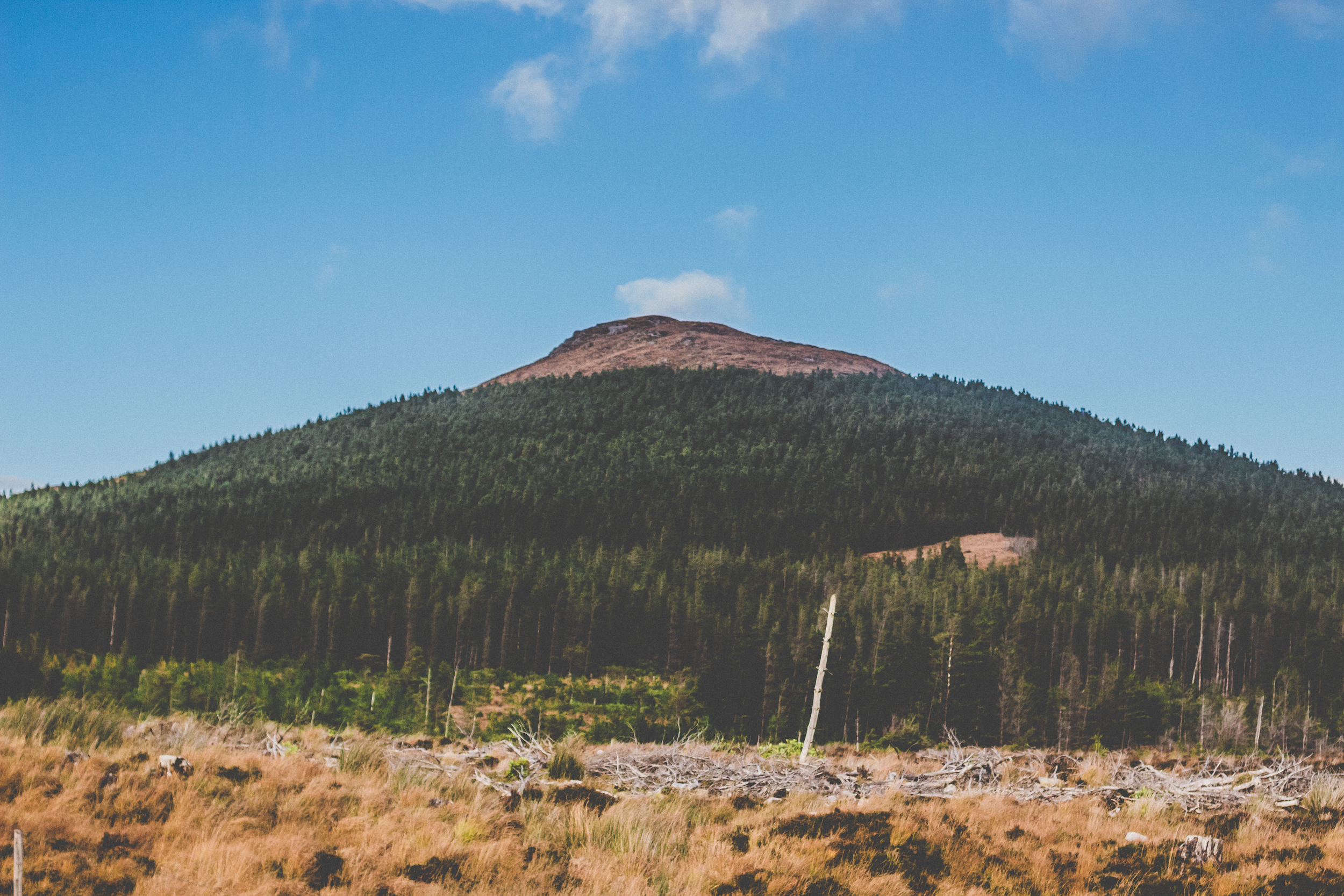
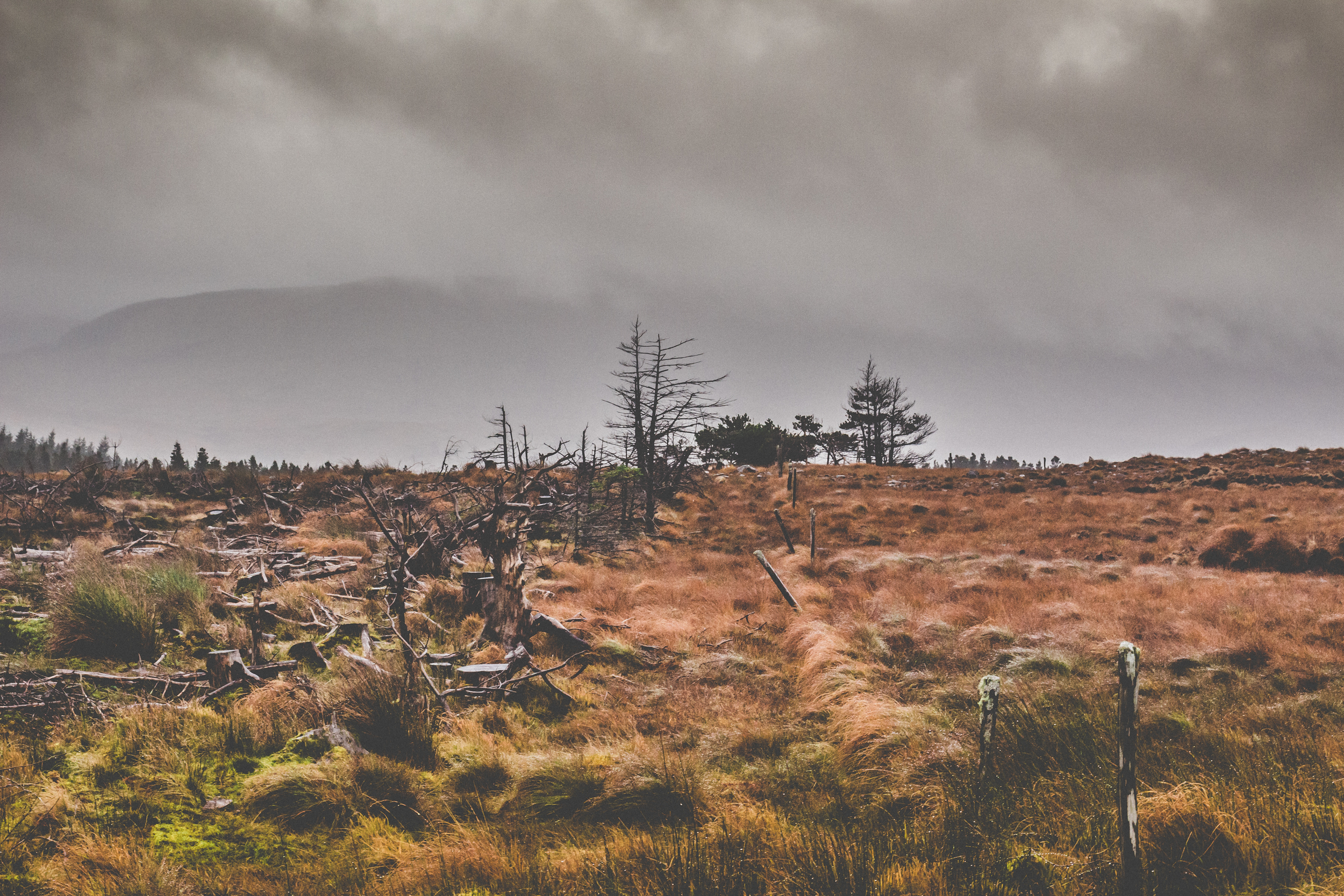
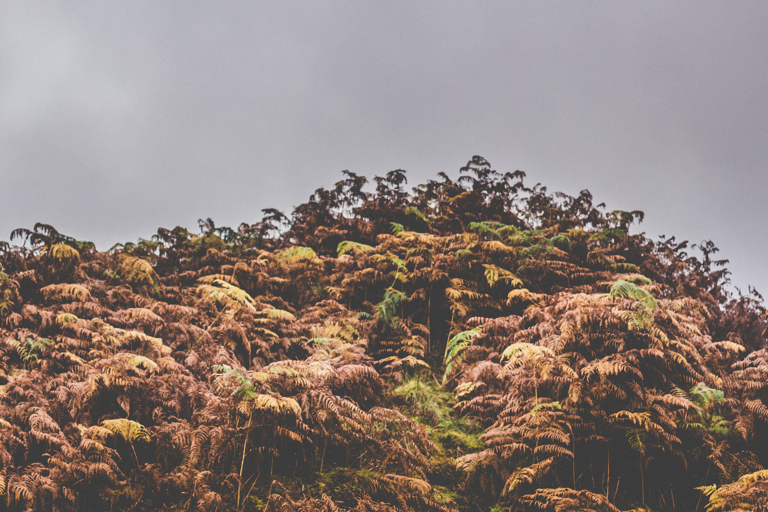
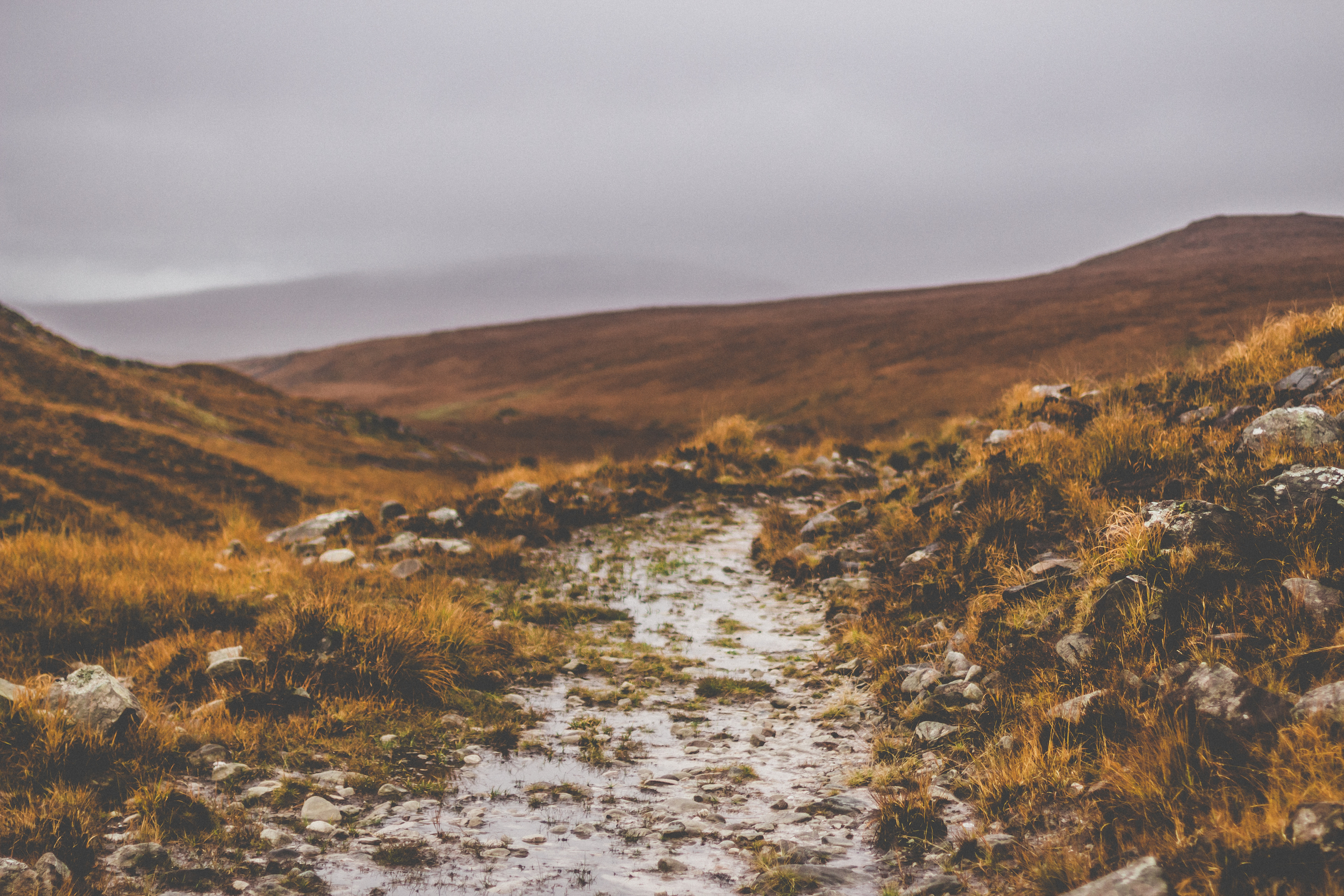
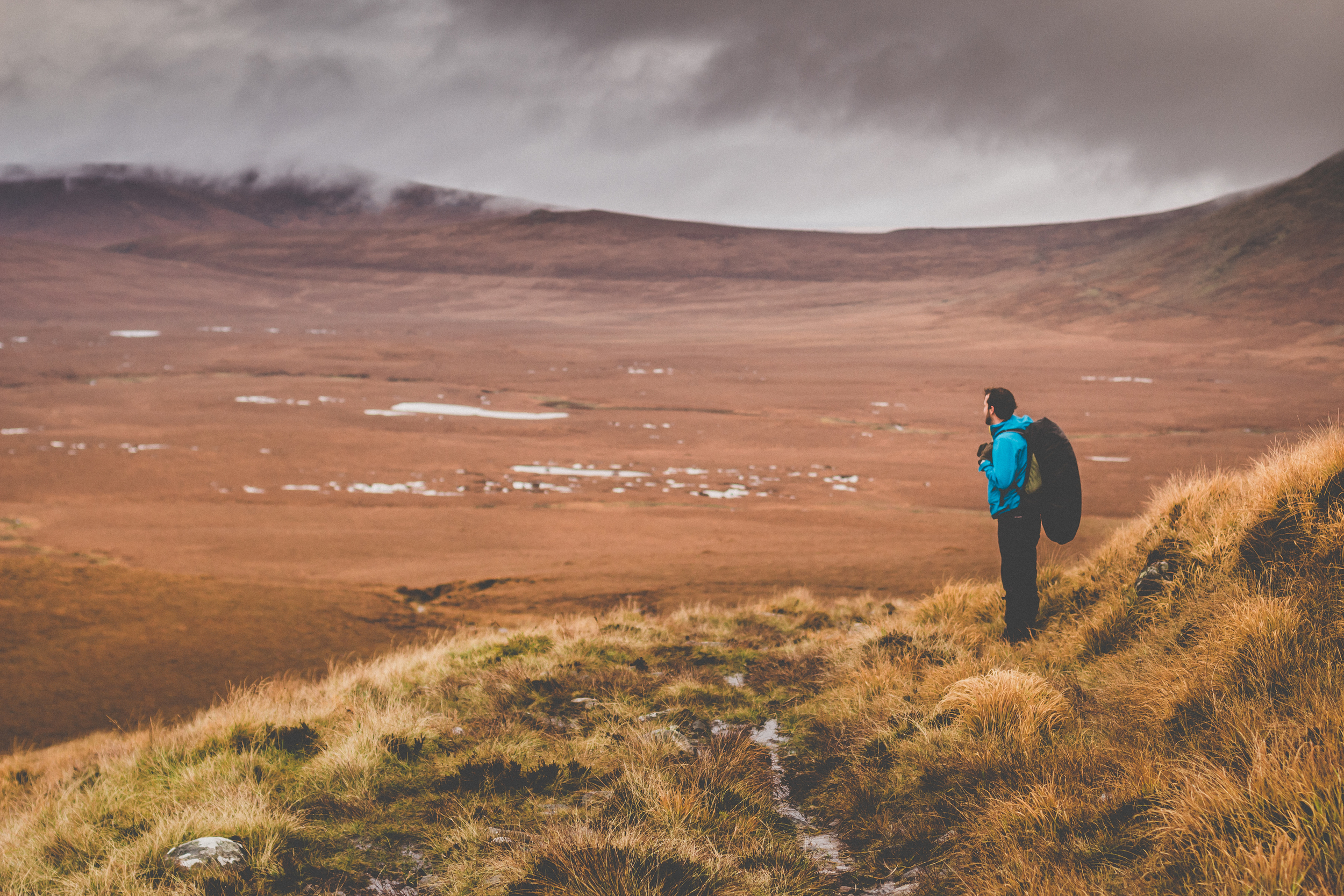
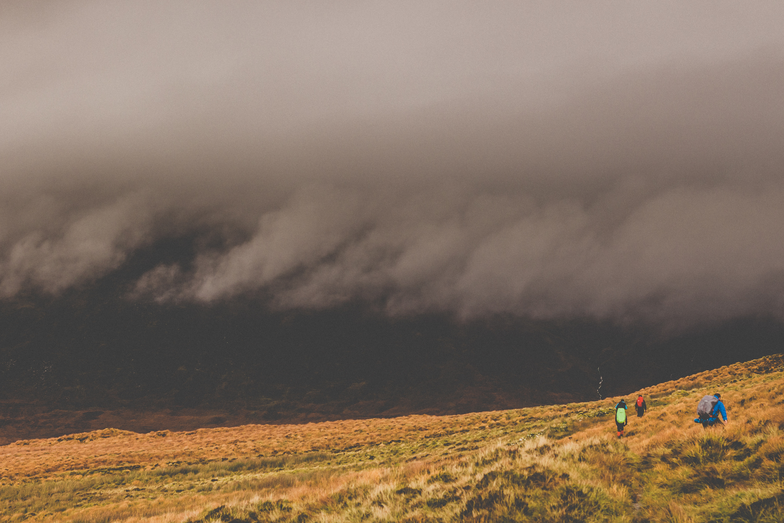
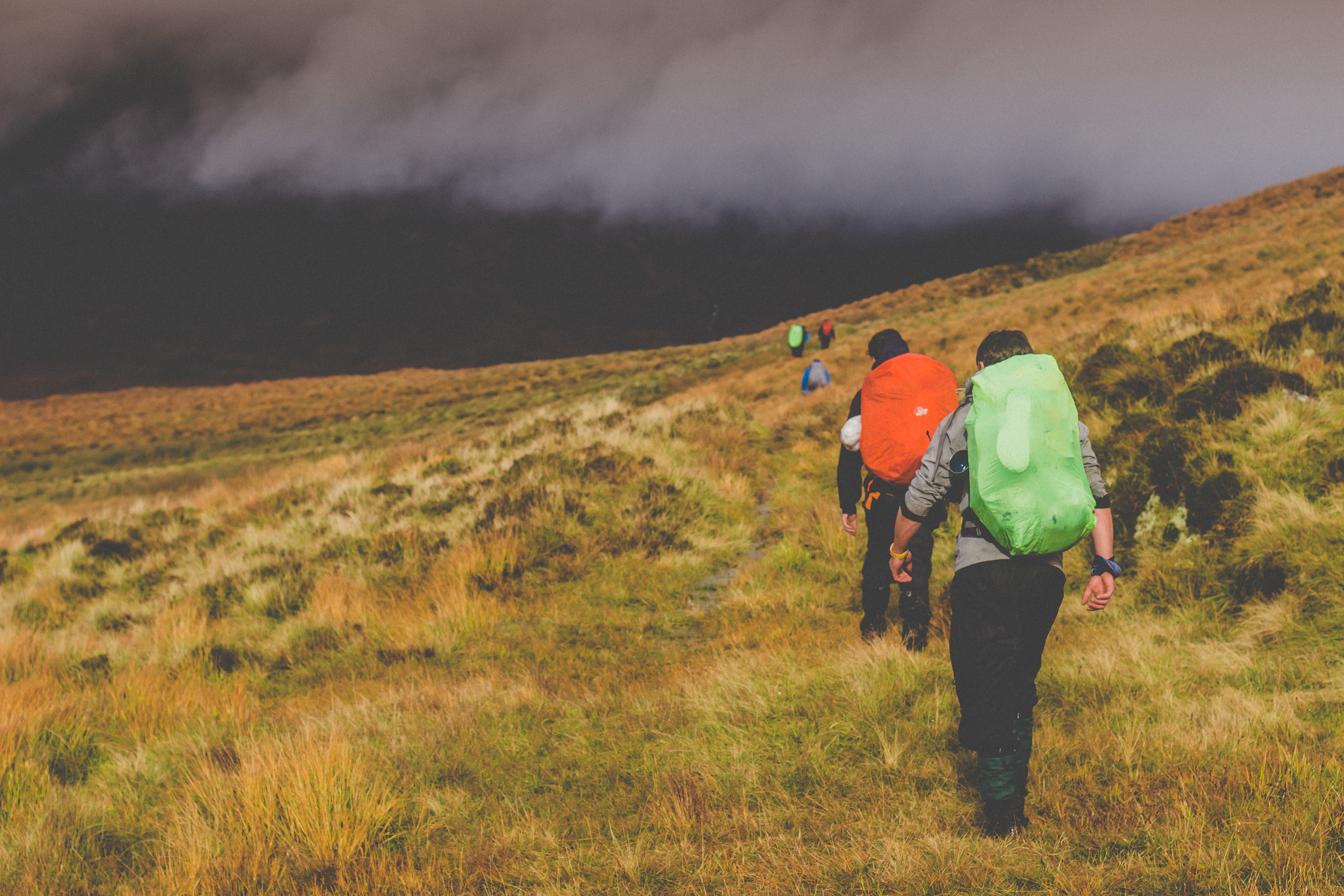
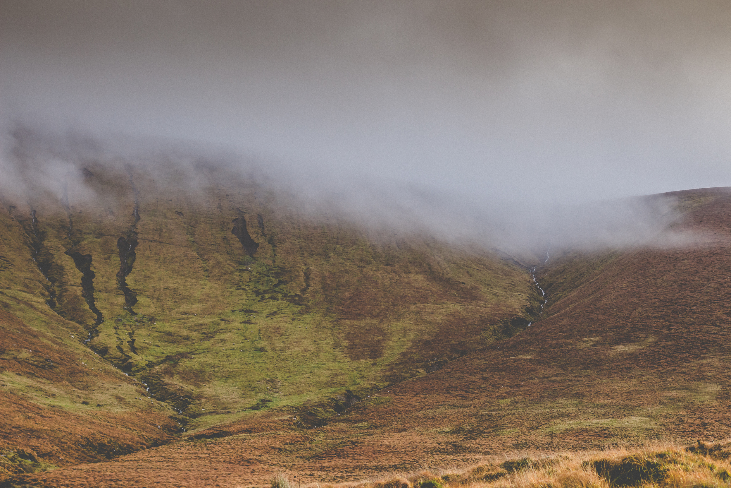
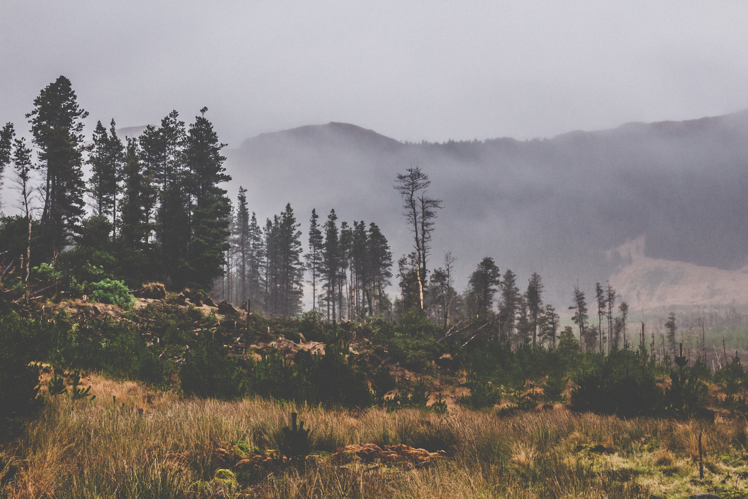
Day two, we head right into the park by the Nephin Begs, truck along solidly until we find an idyllic spot for lunch, a little off the trail. It’s now evident how boggy and wet this trail is. The sun came out to greet us and we got back to business disturbing a woodcock or two as we trundled along. A burrow was spotted on the way, possibly badgers but also otters are known to be in this area. The Owenduff bog is endless and beautiful, and unexpectedly quiet.
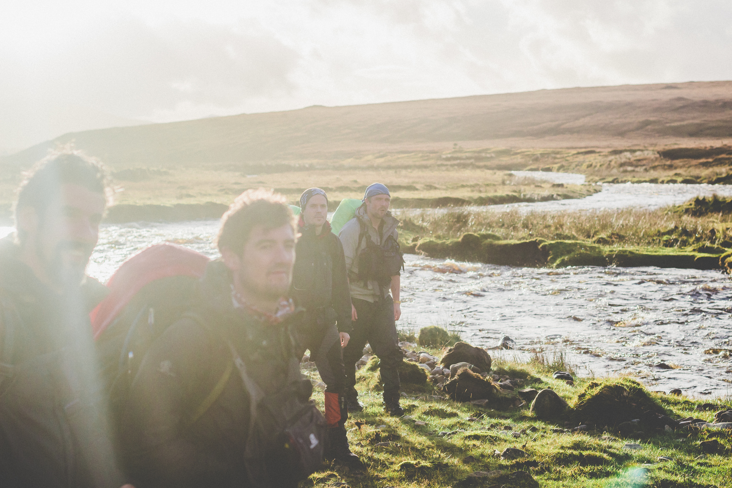
Weaving though this trail combined with the soggy terrain, perhaps elongated the hike until we reached the The salmon-rich Tarsaghaunmore river. High waters had washed away the crossing bridge, requiring our team to strip down and strategize a crossing. Various methods were employed with enthusiasm and we got across safe and adrenaline fuelled. Here we hit a strategy crossroads. The team decided to forego the second night’s camp in favour of a continuation night hike straight into Bangor Erris. “Straight” was the biggest risk as we lost the trail at one stage, and worked well to get back on course. At this stage, the welcoming lights of the town were creeping over the final brow. It was just as well as we had covered 23k approx in difficult terrain. Breaks were took to gaze at the Big Dipper in the sky and to realise just how lucky we were.
After the welcoming people of the town provided Guinness, food and transport, we ended up back where we started in the Brogan Carroll bothy. Jimmy the bus driver, further educated us on the history of the droveway and the men that used to work it giving us context. Also we learned about the ethnicity of Mayo. We thank Brogan-Carroll for their kind accommodation which closed the circle on a super trip into the middle of nowhere.