Day 1
Distance // 13.82 km, Time // 7:16:06
To view more stats and see map of route on day one Click Here
Day 2
Distance // 10.49 km, Time // 4:42:53 ,
To view more stats and see map of route on day two Click Here

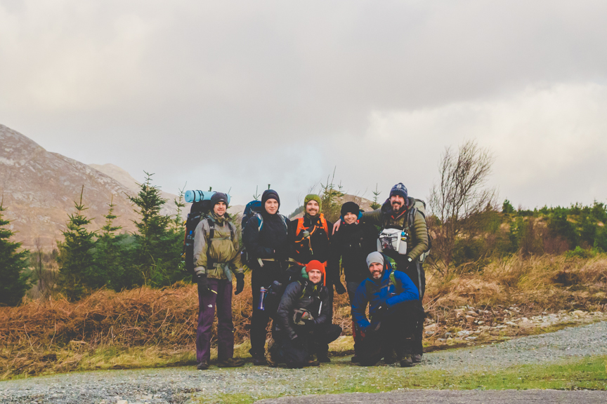
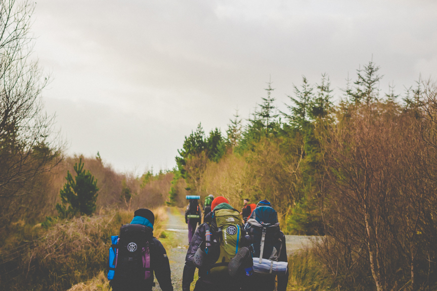
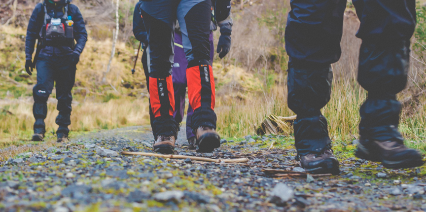
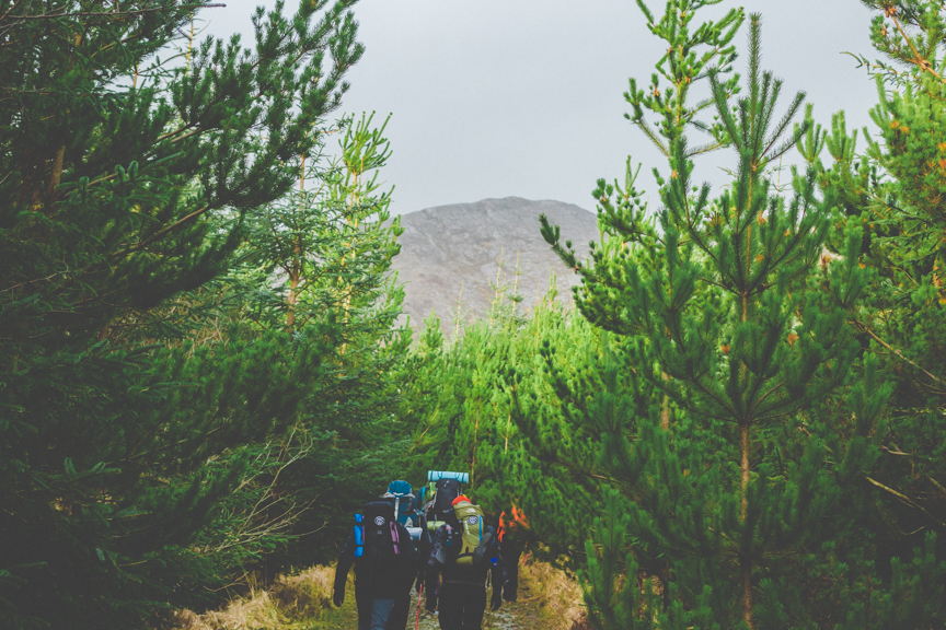
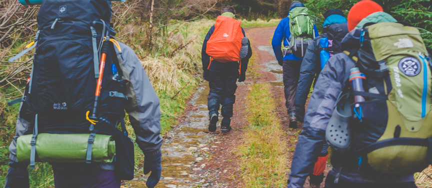
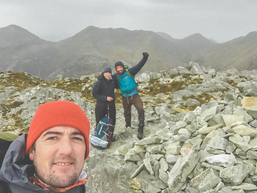
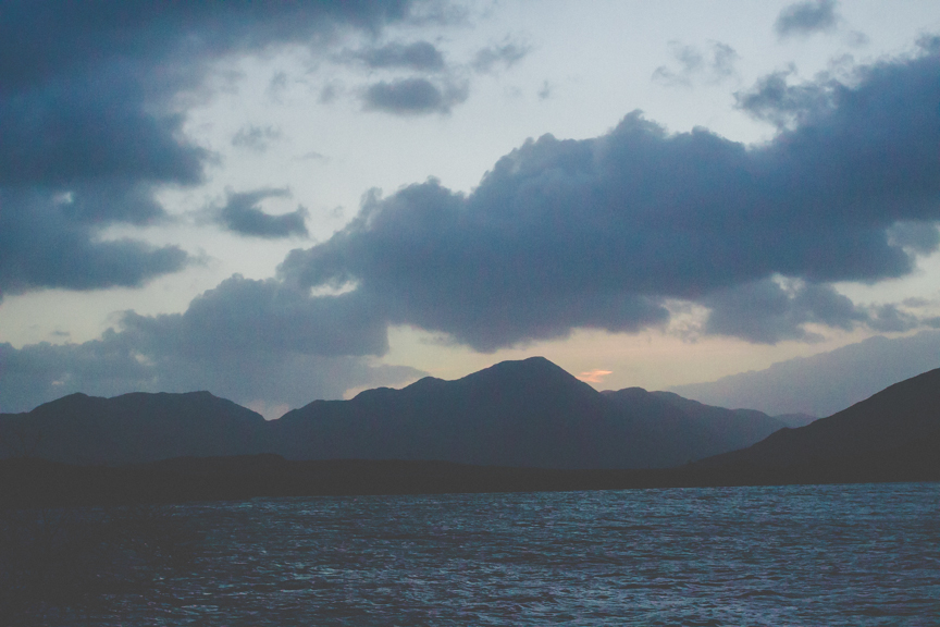
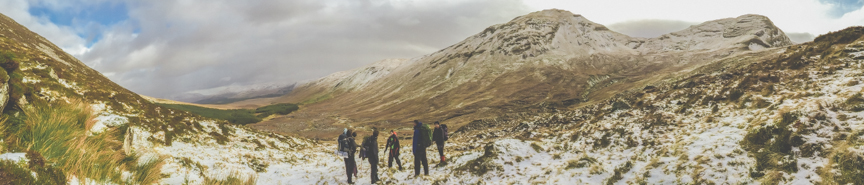
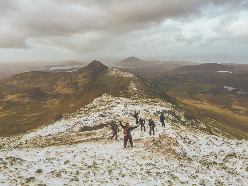
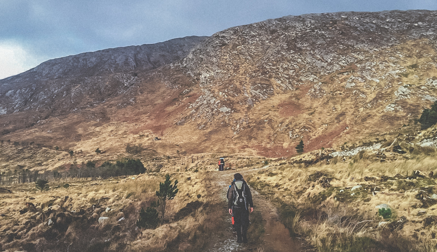
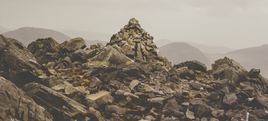
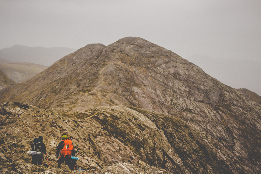
No better way for us to start off 2016 with a tough, but very rewarding Micropaddy adventure hiking in the challenging Twelve Bens mountain range in Connemara. Seven of us made this two day trip during a relative weather ‘col’ between two Atlantic storms, named Gertrude and Henry. After very heavy winds overnight, Storm Gertrude had eased off somewhat early on Friday morning when we started our hike at the isthmus between Lough Inagh and Derryclare Lough. However, that didn’t last long as we were battered by strong south-westerly gales climbing up to the summit of Derryclare (677m asl).These winds were to remain with us throughout the two days with only the occasional and unexpected lull. After climbing Derryclare Mountain we traversed north down across the ridge and then up again to Bencorr (711m asl) and on to the Bencorr North top (690 asl). The route then took us west to the peak of Binn Dhubh (653 m asl) and after many hours hard hiking we descended of Maumina towards County Galway’s highest peak Binn Bhán.
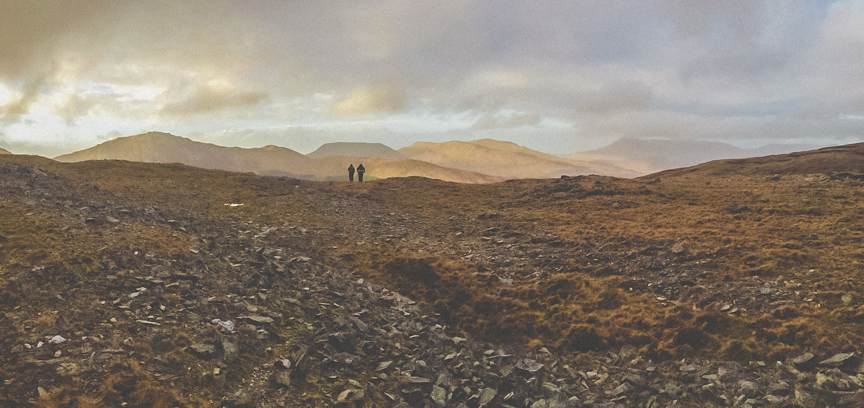
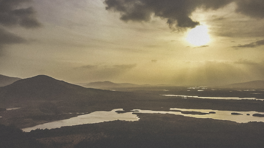
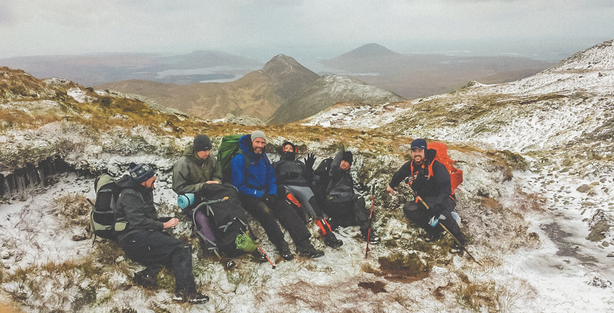
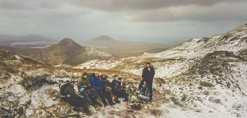
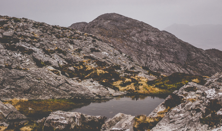
It was here that thoughts came to getting a camp set up for the night especially as we knew that day light was very limited at this time of year. We had two main options. The first was to continue on west towards Benlettery along the original ridge we had been walking on and the second involved hiking over, or possibly around, Binn Bhán to get to the upper section of the Kylemore River Valley. We decided on the latter destination and to circumvent rather than go via the peak of Binn Bhán. Keeping our elevation around 300 m asl, we headed east around the mountain and located a steep gully (later named Paddy’s Chimney) which led straight up the south face of Lugrevagh (456 m asl) a few hundred metres west of its summit. This was a delicate operation to climb particularly as we had 10-12 kg back packs in tow and it definitely isn’t a route to recommend taking. However, after a slow but steady ascent we made in onto the plateau above, which was a minor relief. From the north side of Lugrevagh we could see our campsite across the valley by a bend in the river bordered by a forest.
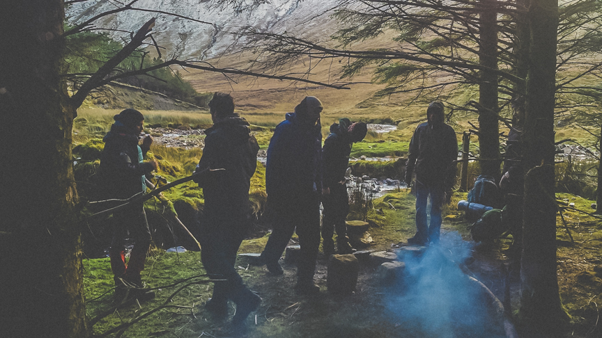
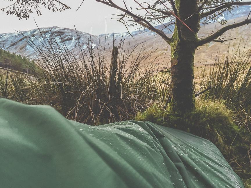
An hour later we made camp after descending into the valley and across sodden peat. With six bivvy bags and a one-man set up, we collected firewood as darkness set in after which we got the fire going, cooked up and reviewed the day’s walking over a few well deserved drinks. Surprisingly, all had retired by 10.30 pm, a sign of the energy expended during the day and the early 7am start. Although the camp was relatively sheltered, overnight the strong winds continued.
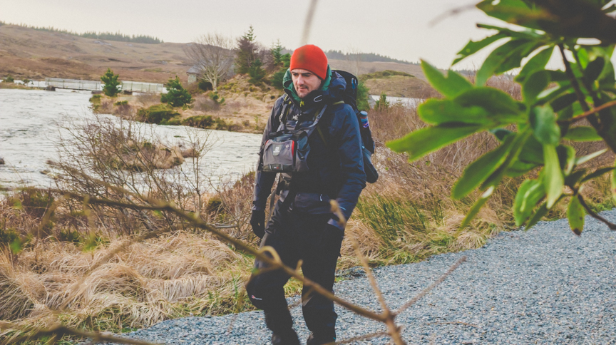
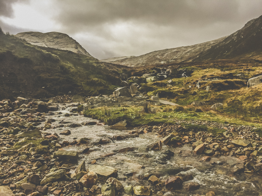
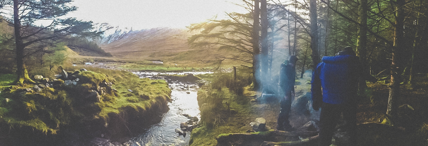
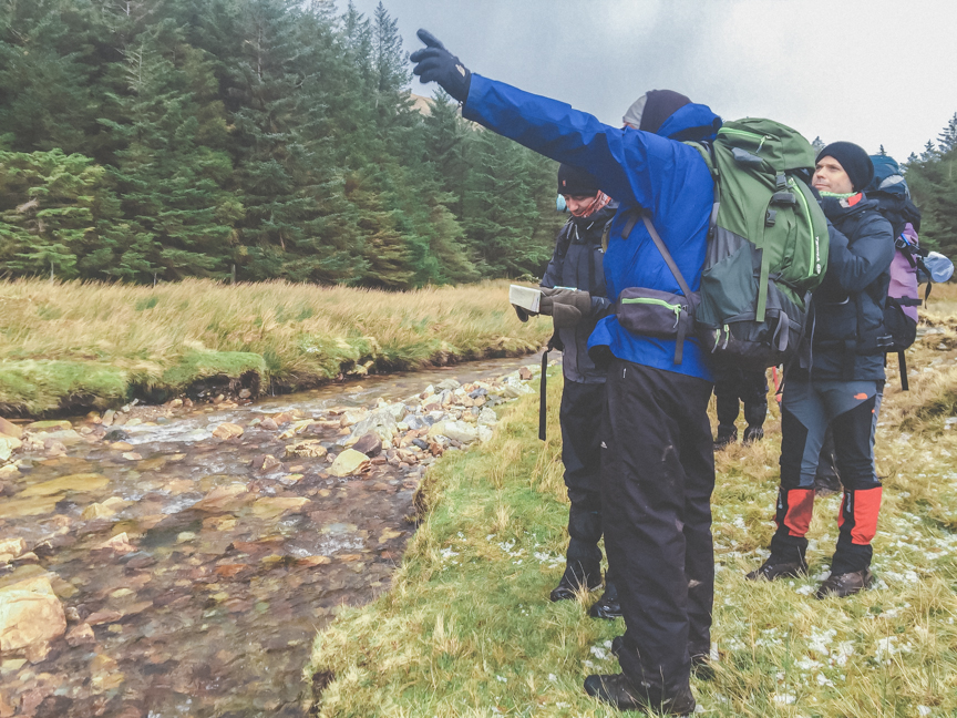
On Saturday morning we awoke to icy conditions with showers of hail blowing into camp. After breakfast we set off up the valley, with the overnight snowfall higher up aiding our grip underfoot as we climbed towards Benbrack (582 asl), battered by hailstones all the way. From the top of Benbrack we headed east to peak 407 and then ridge-walked further along to Knockbrack (442 m asl). The final descent took us steeply down off the west side of this mountain to meet the Polladirk River. After discounting continuing on to Diamond Hill, the party regrouped, crossed the wooden foot bridge, and we made our way along an undulating track which eventually led somewhat haphazardly through heavily-scrubbed farmland into our final destination of Letterfrack village.
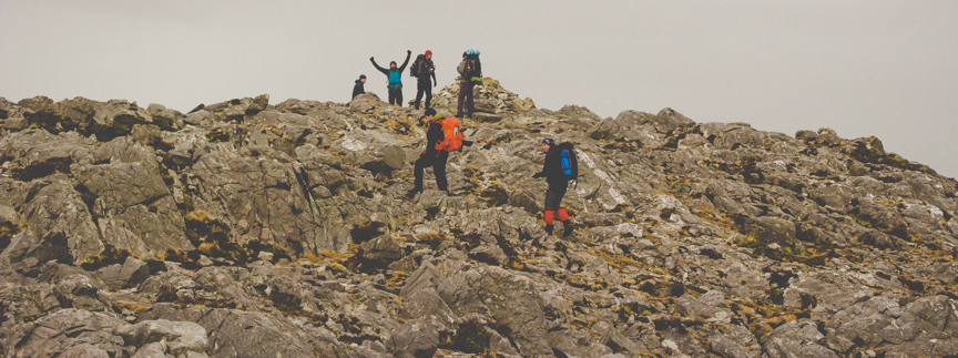
This was a fairly tough, but thoroughly satisfying experience with some challenging weather conditions to deal with throughout. The group camaraderie was right up there as always and we would highly recommend the rocky-peaked Twelve Bens, its spectacular vistas and surrounding wilderness to all our fellow hiking aficionados.


Text // Mickey


